Oregon 2022 Trip - Central Oregon
Friday October 7 - We finally got our collective derrieres in gear and left home, heading east on I-90 over Snoqualmie Pass, and ultimately spending the night at the Army Corp of Engineers campground at Le Page, Oregon, on the scenic banks of the big lake that backs up the John Day River behind the John Day Dam on the Columbia River.
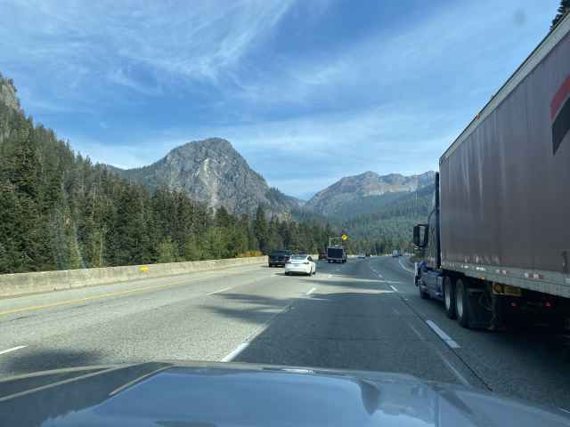
Actually passing someone going up Snoqualmie Pass on I-90.
Stopped at our usual lug nut re-torqueing spot at the Cabin Creek Sno-Park.
The day's drive went uneventfully enough, except for a couple of 4Runner oddnesses...
4Runner Oddness Number One involved our planned gas stop at the cheap gas station just west of Ellensburg, which turned into an unplanned panic gas stop at Thorp, 12 miles shy of our planned stop, when the "Miles To Empty" indicator dropped straight from 26 miles to 0 miles in one jump, thereby causing some amount of concern. Hmmmm - what does it all mean? A Controller Area Network (CAN) weirdness perhaps? We coasted into the gas station and got filled up, relieved that the MTE displayed its typical full tank ~320 miles of range,
Nonplussed, we nonetheless took the intended route from I-90 to Yakima along the scenic Yakima Canyon Highway 821,
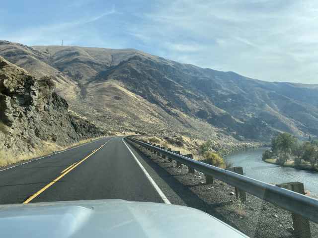
a bit of a short cut, just marginally slower than the freeway, a nice gradual downhill the whole way following the river, and much more pleasant than the frenetic climb over Manastash ridge on Highway 82 with all the big hills and playing leap frog with all the semi-trucks lumbering up the hills and then blasting by us on the way down the other side. Remembering a lesson from the past, after hitting Yakima we stayed on 82 past the turnoff for Highway 97 at Exit 37, until we got to Exit 50 at Buena where we veered south onto 22 for a quick dash over to Toppenish, thereby avoiding the tedious miles of traffic signals and the attendant traffic jams, then continuing south on 97.
4Runner Oddness Number Two visited itself upon us in the wilds of the Gifford Pinchot National Forest north of Goldendale, when our (formerly trusty) Torque Pro Android app got all goobered up and started showing our torque converter ATF temps all over the map - rapidly rising up to 240 going downhill in 4th, falling when going uphill in 5th with the converter locked, etc, etc. So was it real, and symptomatic of a fritzed transmission? Or a case of faulty instrumentation? The coolant and pan ATF temps seemed normal enough; it was just the torque converter temps that went crazy. Was it some screwy bytes on the 4Runner's CAN bus, something with the ELM327 OBD transceiver, or the WiFi connection, or maybe the Android phone itself, or the Torque Pro app, or the temp sensor deep within the bowels of the transmission? Yikes! The head spins! So, it was out with the OBD WiFi transceiver and in with the old ScanGauge OBD cable, which only displays 4 values - the pan ATF temp, the coolant temp, voltage, and instantaneous MPG (ugh). Figured that we would just have to forgo seeing the air:fuel ratio, mass airflow, etc, etc, on Torque, but that would be a fair trade for reliable ATF pan temps.
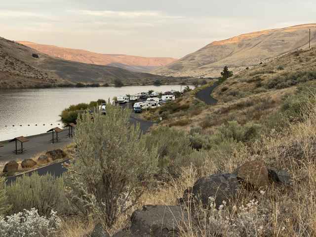
In any case, we crossed the Columbia River and pulled into Biggs Junction on 84, headed east along the Colombia River for 10 miles to Le Page Park, greeted the gate-keeper (who also just so happens to be David's big mean cousin Hank who finally let us in after some amount of negotiation) at the entrance station, and got set up in our waterfront pull-through Site 8, enjoying the sunset.
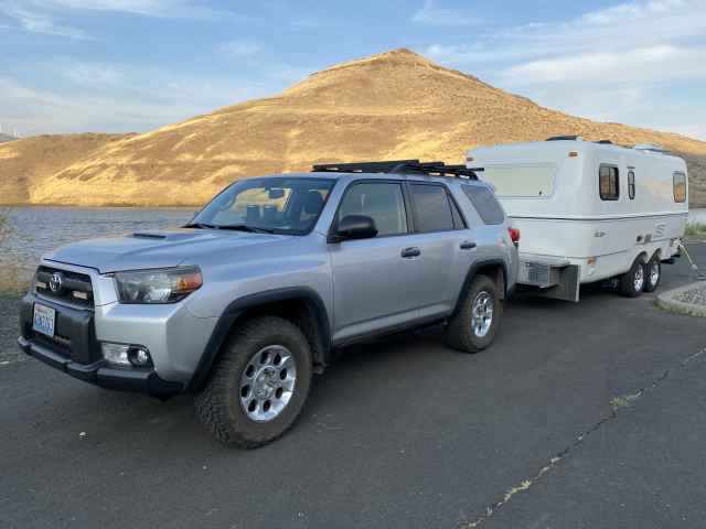
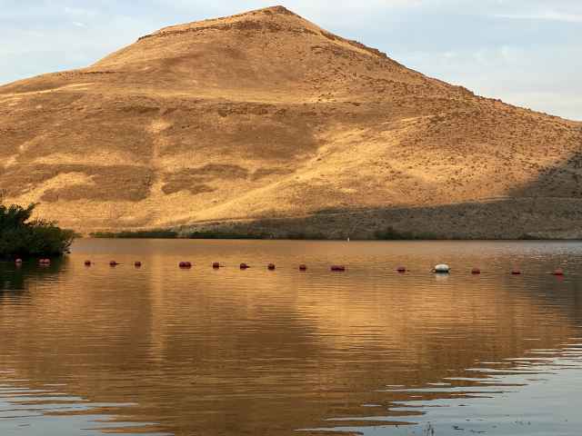
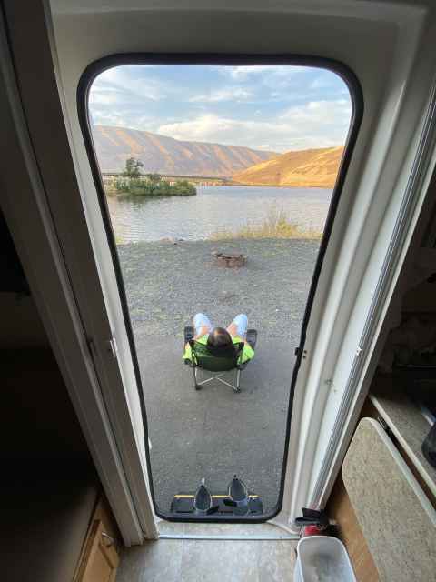
That's our little weenie trailer way off to the left, all by ourselves, just the way we like it.
Meanwhile, cousin-in-law Ann was cooking up a big spicy mess of spaghetti and meatballs, salad and garlic toast, and we hiked up the hill to their big fancy trailer at their "campground host" site up on the hill far above the plebeian occupants of the public campground, for a delightful dinner and conversation, the latter perhaps wandering off into the subject of the sad state of current national and world affairs, but with some amount of tangential levity thrown in. Mucho thanks for your hospitality and the free food, Cuz's.

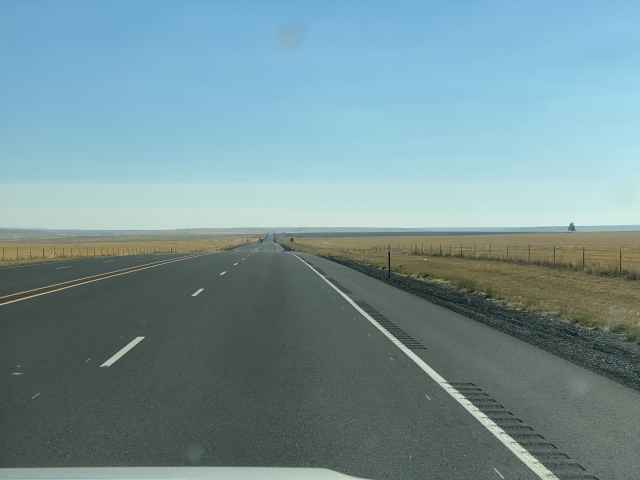
Saturday, October 8 - We convened again for a most pleasant breakfast the next morning, and we were soon on our way south toward our first week in Redmond ("the other Redmond"), at the Deschutes County Fairgrounds and Expo Center RV Park. Along the way south on 97, we sped through the bustling metropolis of Moro (deciding that the citizens residing therein must be Morons),
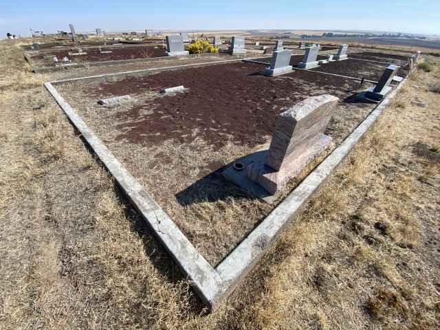
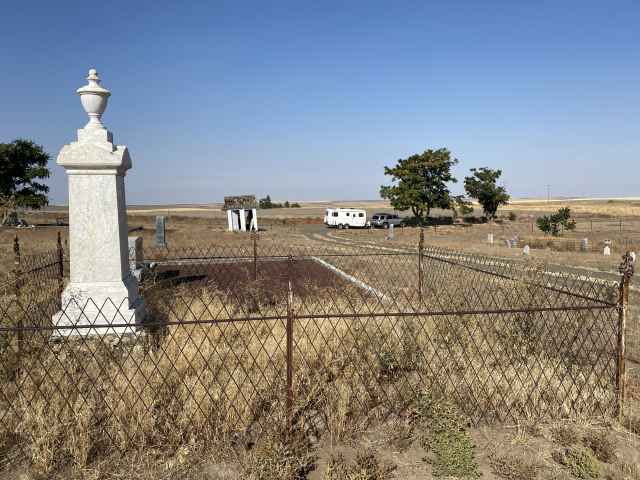
stopped in at the Grass Valley cemetery for a quick visit with some of the local dearly departed,
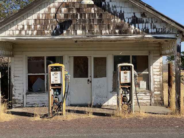
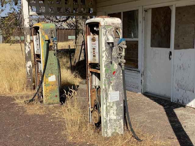
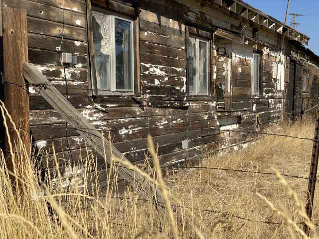
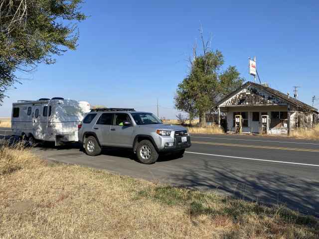
then continued on to one of our favorite old gas stations just down the road, enjoying the old-time, albeit somewhat crumbling, ambience.
Sadly enough, Highway 97 was closed at Shaniko due to a serious truck accident, so we detoured to Madras via the town of Antelope on Highways 218 and 293 - a couple of new roads for us so at least that was nice - and got back onto 97 and into Redmond.
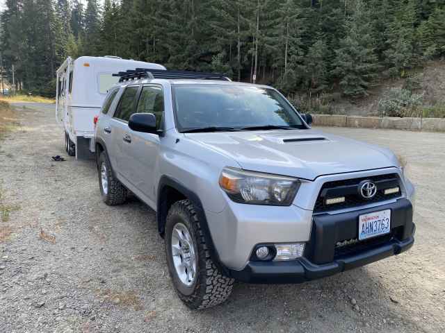
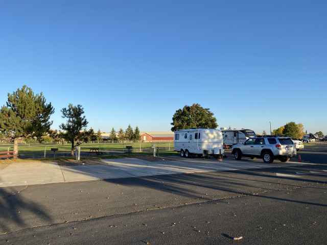
We got all moved in and hooked up in our marginally populated RV Park,
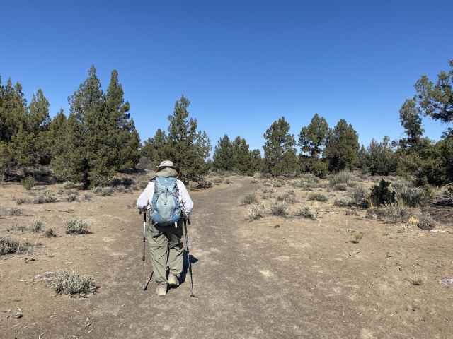
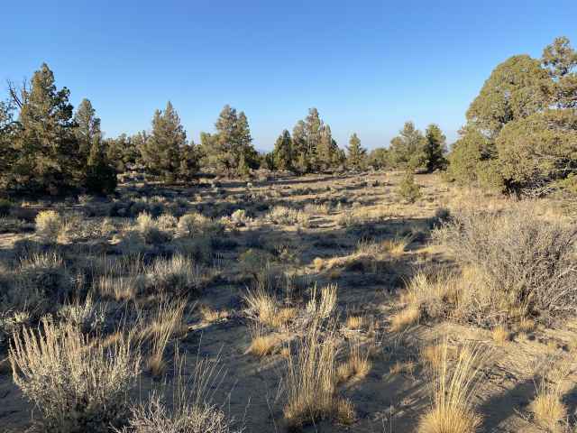
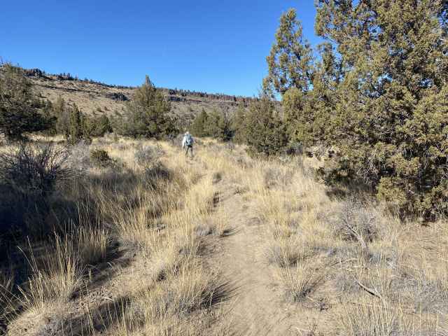
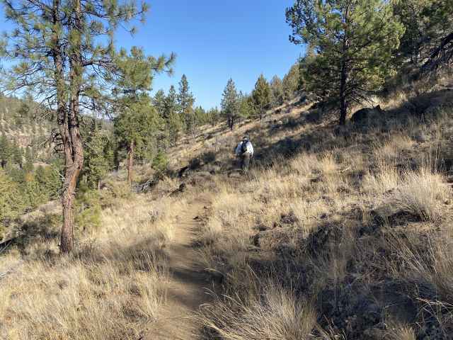
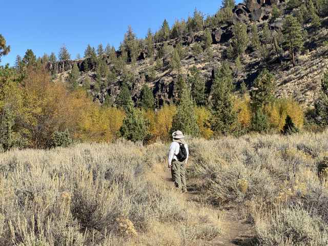
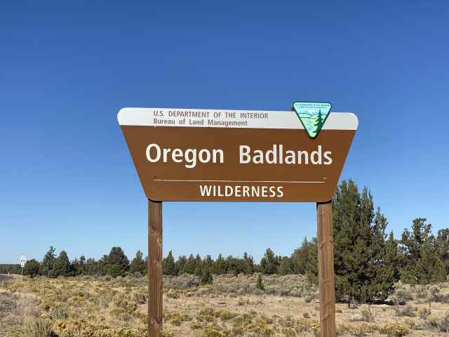
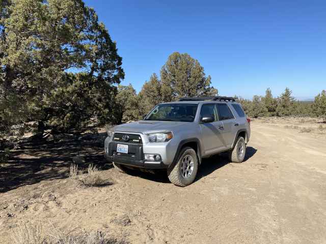
and decided, given all the wildfire smoke throughout the area, to forego the vaguely visible Cascade Mountains to the west and kick off the hiking for this trip in the relatively clear air of the high desert to the east on Highway 20, specifically in the Oregon Badlands Wilderness Area, thoughtfully brought to us by Mr. Obama in 2009.
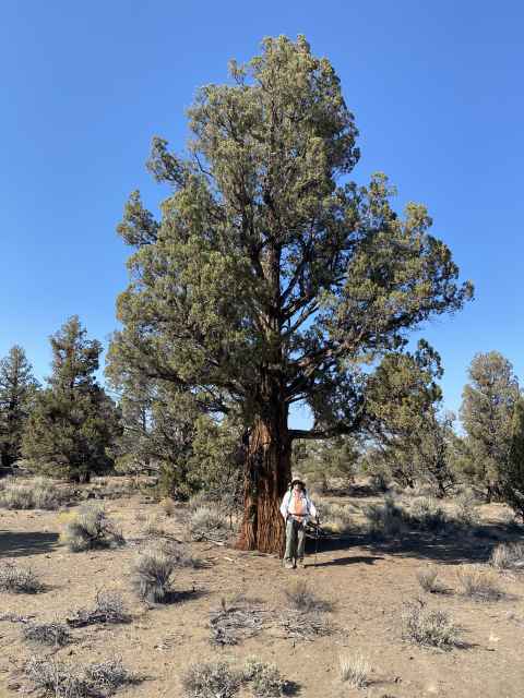
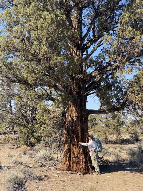
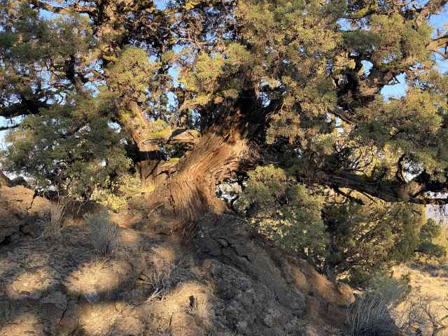
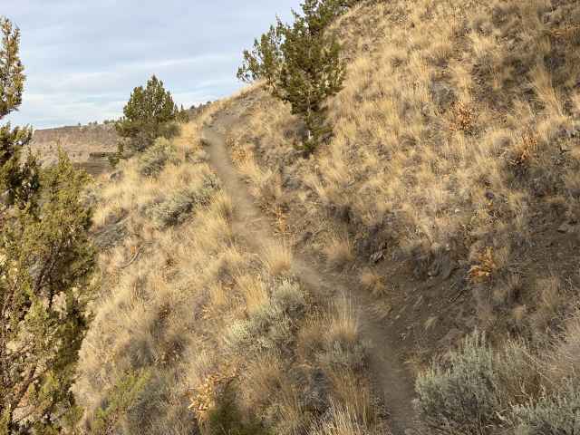
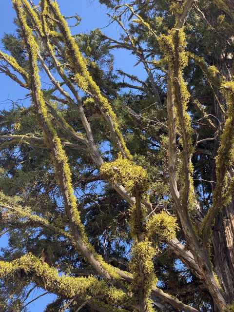
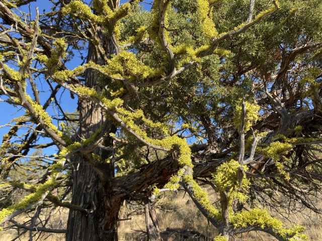
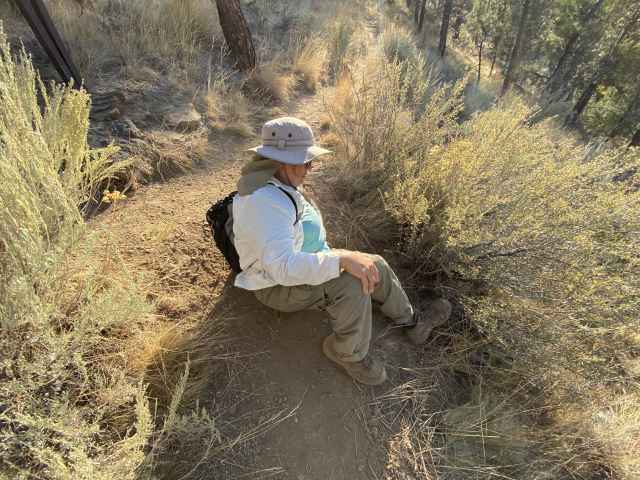
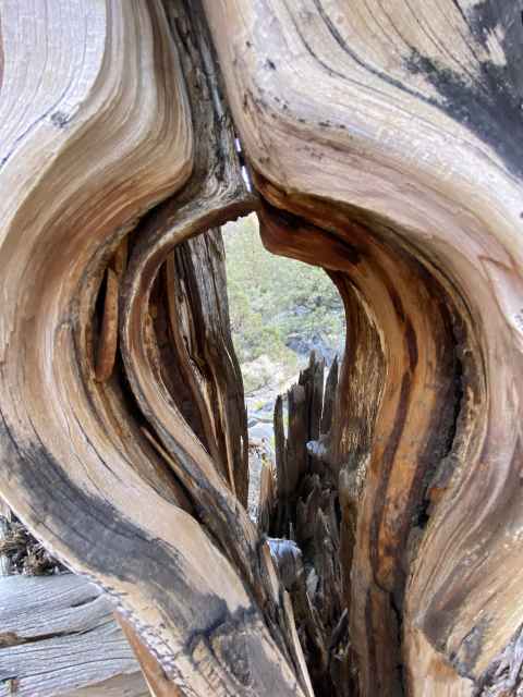
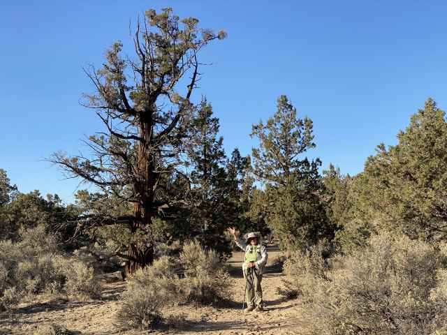
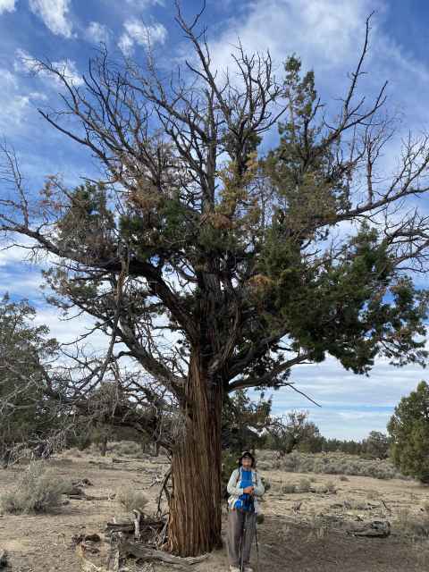
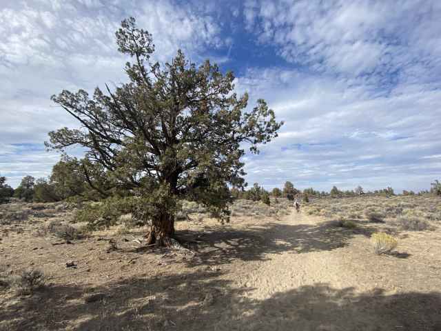
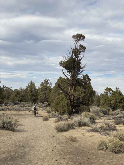
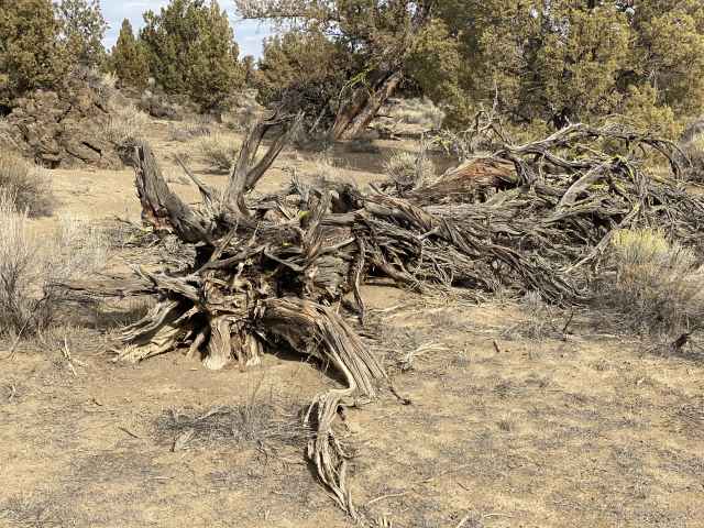
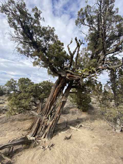
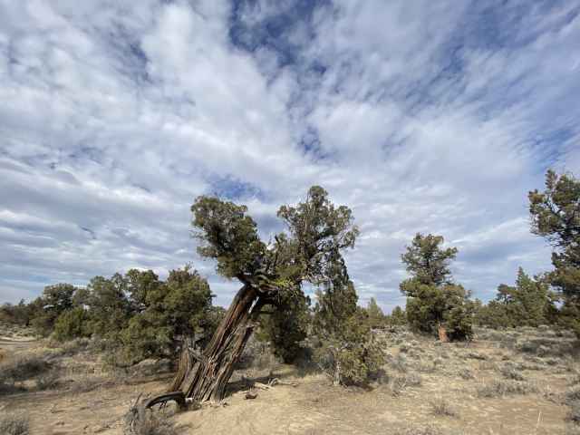
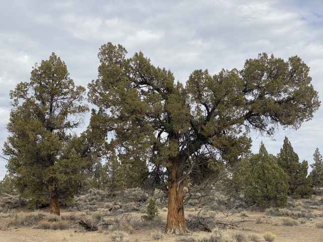
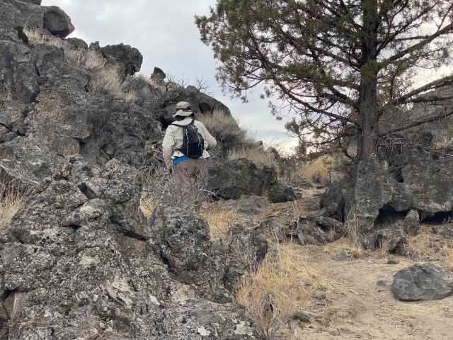
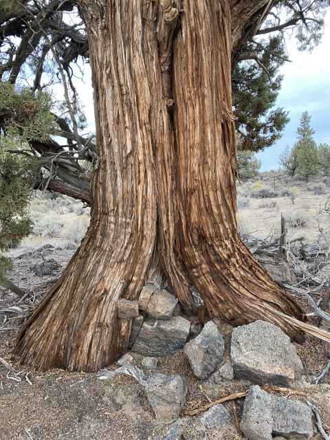
Sunday October 9 - The 7 mile Flatiron Rock hike beckoned, and we answered its call, setting out on the trail the next day, bright and early at 1:30 PM. We need our beauty sleep! Anyhow, we had a great desert hike including a late lunch at the top of Flatiron rock, getting the boots shuffling and the knee joints moving again since not hiking since way last June, and returning to the car via the Ancient Juniper trail, finishing at 5:00. Some of the junipers were over 1,000 years old, and we appreciate a good ancient juniper as much as the next guy, perhaps even more.
One of the many small canyons atop Flatiron Rock.

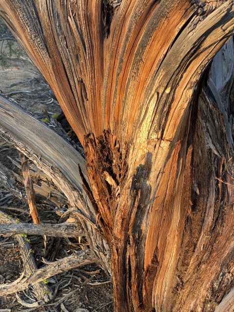
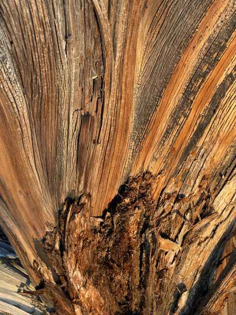
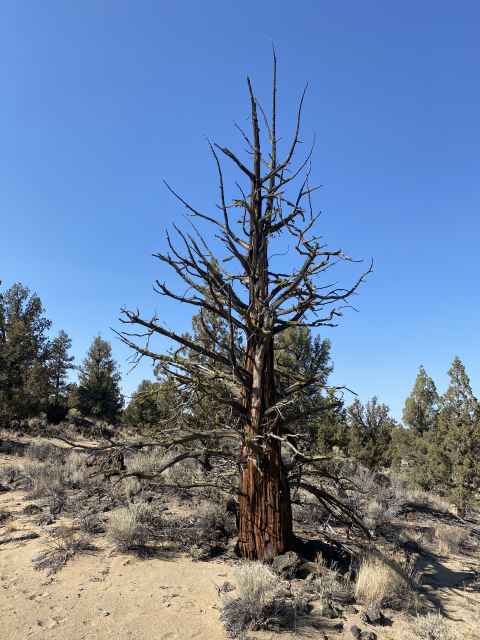
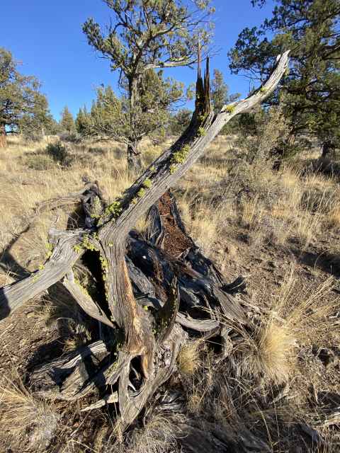
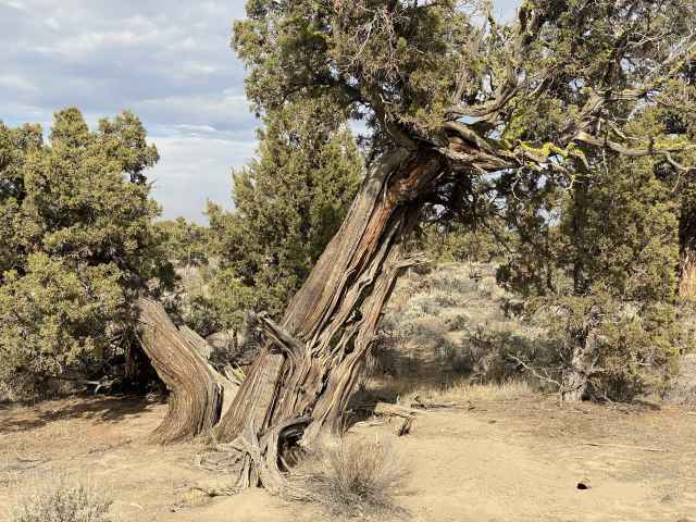
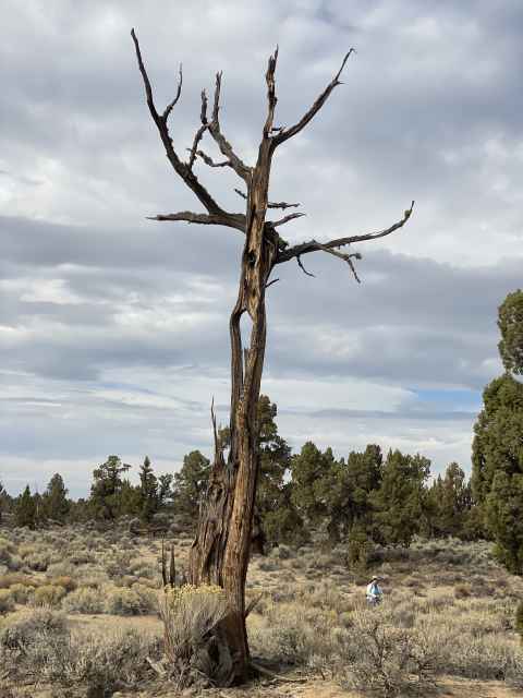
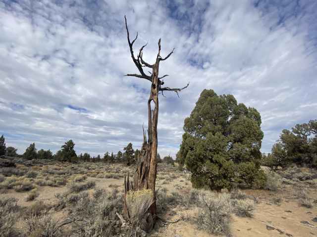
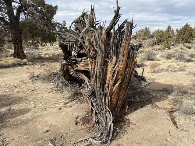
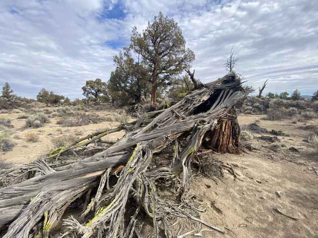
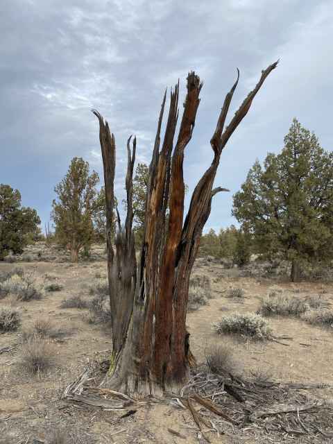
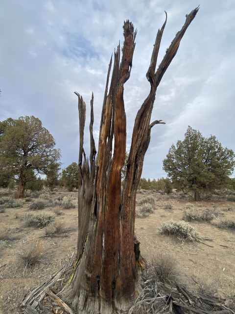
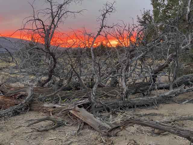
As the sun set, we were treated to a colorful dead juniper stump.
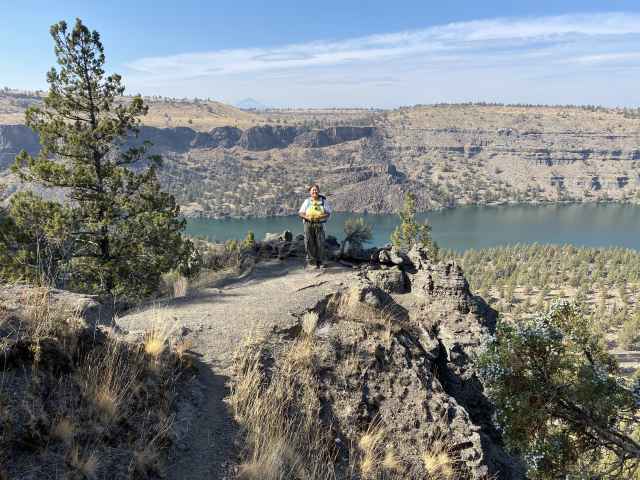
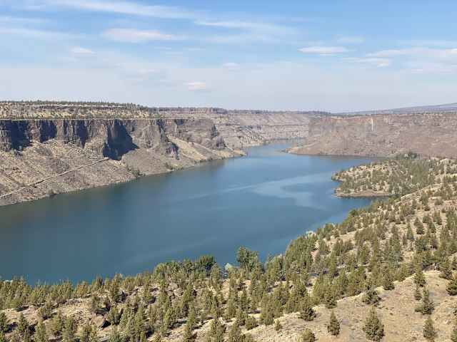
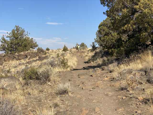
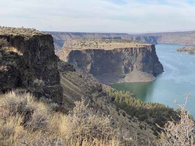
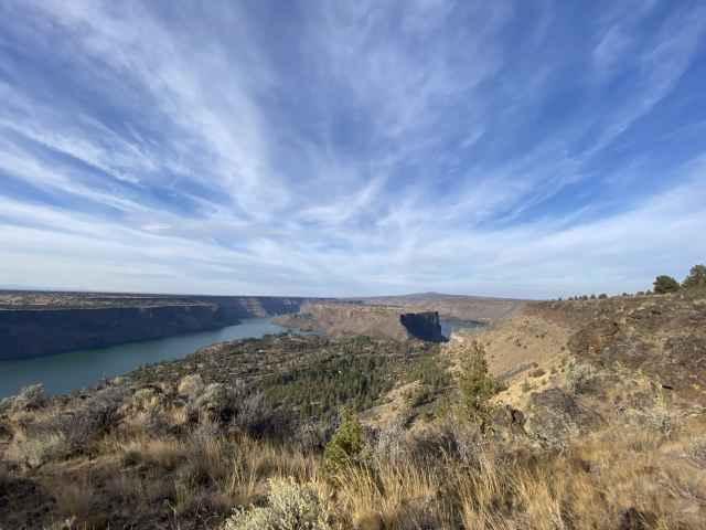
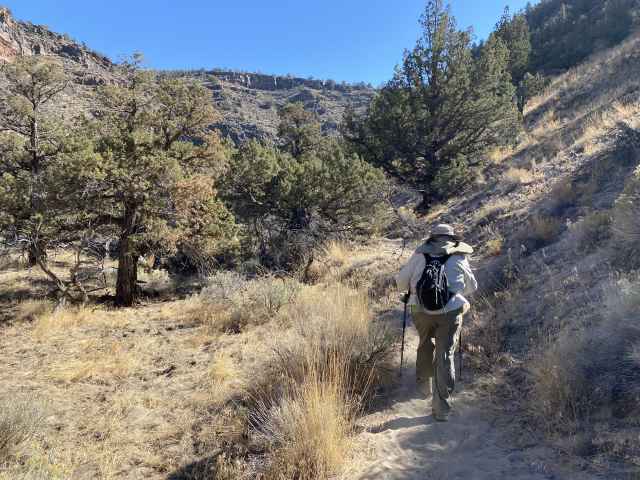
Monday October 10 - Moving right along, the next day we headed north up to Cove Palisades State Park to hike the Tam-a-Lau plateau-top 7 mile loop trail. We had a real good hike, but pretty much clobbered our feet climbing from the top back down to the car, especially your humble scribe, whose loose-fitting hiking boots forged a couple of huge big-toe-top blisters, photos of which will be withheld out of consideration of our readers' presumed delicate sensibilities.
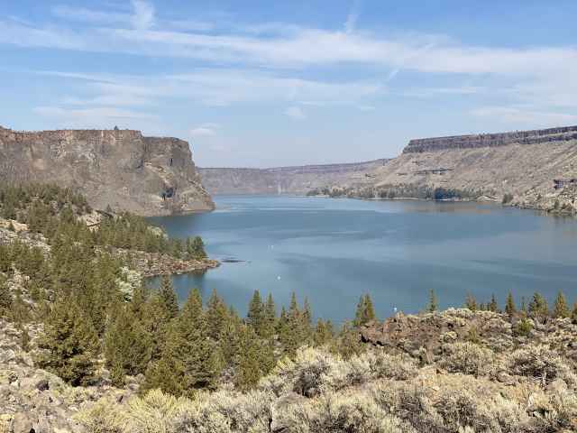
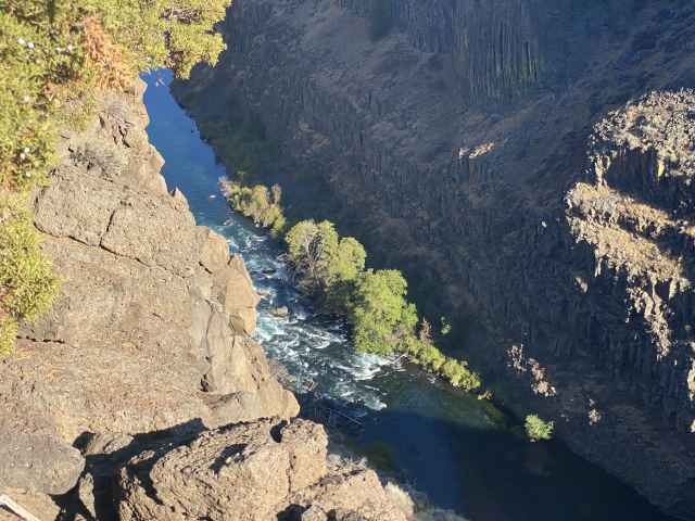
The lake backed up behind the Round Butte Dam, where the Deschutes and Crooked Rivers form a huge reservoir. This is the Crooked River Canyon.
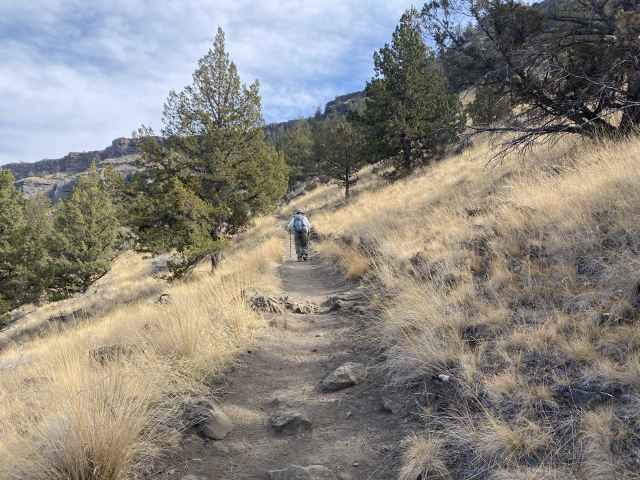
Ascending the trail to the plateau oh so far above.
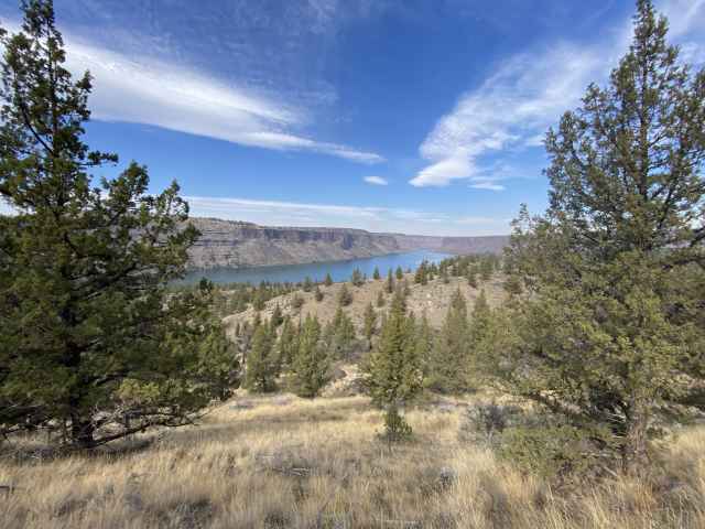
Looking down on the Deschutes River Canyon.
Almost to the top.
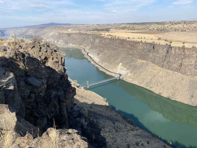
Looking down to the bridge over the Crooked River.
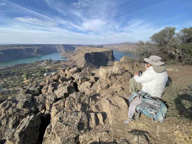
Lunch is served on the plateau between the 2 river canyons, before heading back down to the car.
Looking back up the trail.
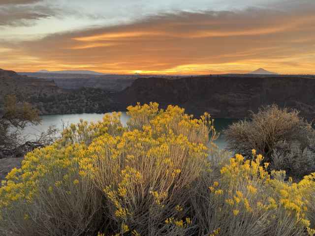
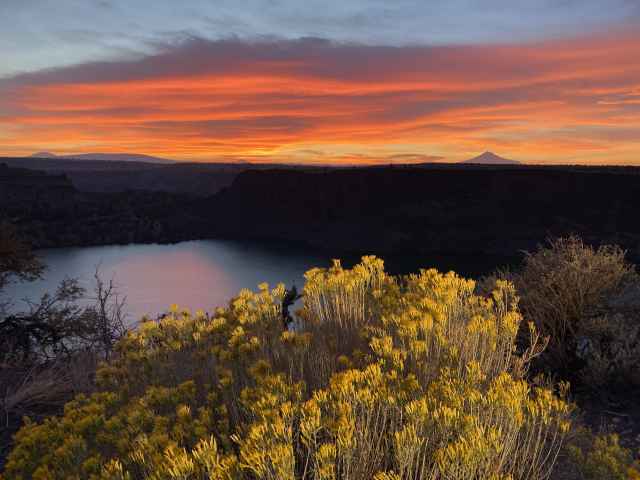
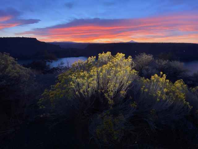
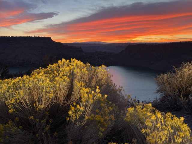
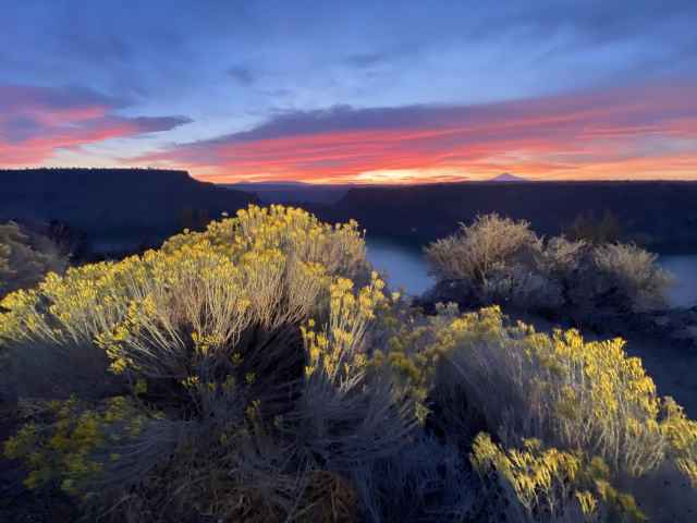
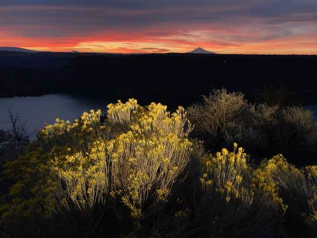
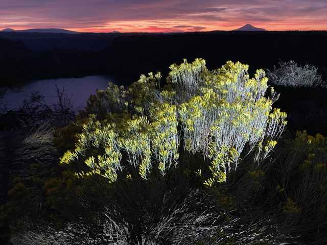
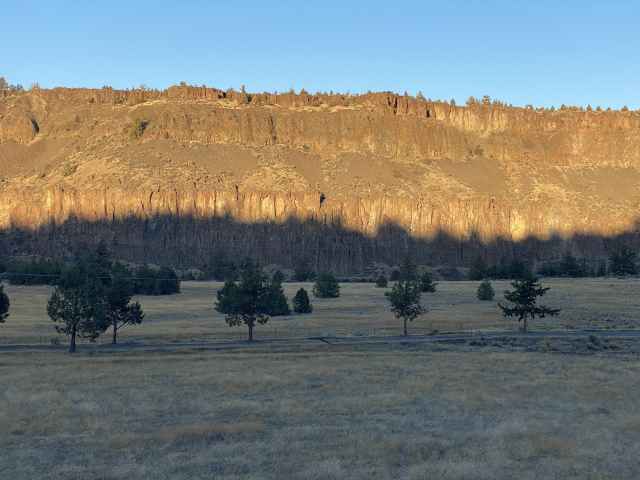
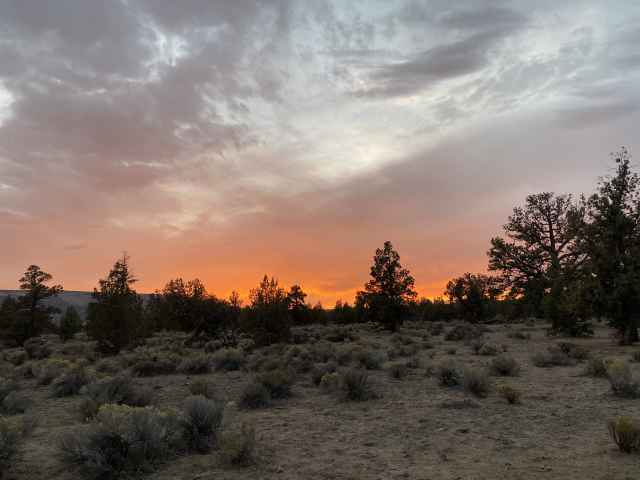
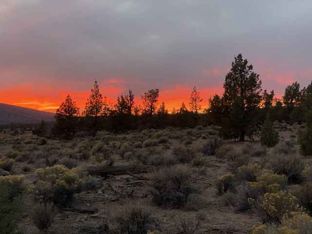
On the way driving up and out of the canyon that evening, we stopped at a viewpoint to enjoy the sunset, supplementing the scenes as darkness fell by blasting the foreground foliage with the high beam headlights (warm light) and finally the LED lightbar (cold light), capturing some interesting, albeit artificially enlightened, images.
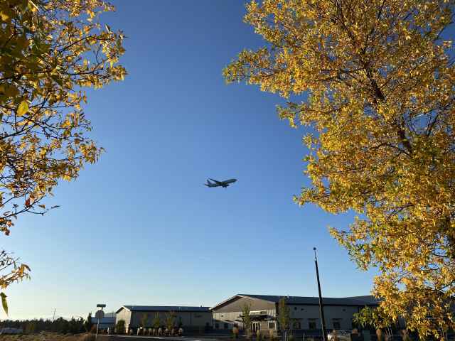
Tuesday October 11 - Turned out that our feet were sufficiently unhappy that we decided to make it a rest and relaxation day, just sitting around in and by the trailer, letting our tired toes catch their breaths. Sitting under the nearby airport's flight path, the day's excitement was provided by a steady stream of incoming NAVY jets, perhaps meeting up for exercises with the Oregon National Guard folks, along with a surprising number of regular commercial flights.
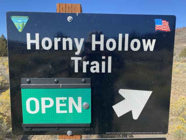
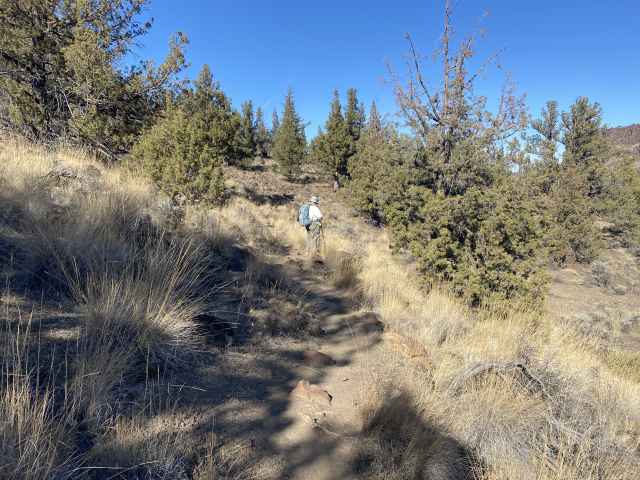
Wednesday October 12 - Following our motionless off day, we were back at Cove Palisades to hike the Horny Hollow (yes really!) / Opal Canyon / Otter Bench Loops, another 7 miles, further aggravating our feet.

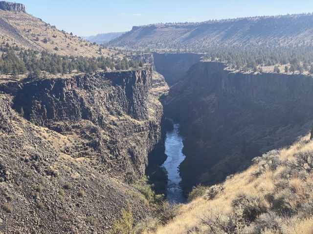
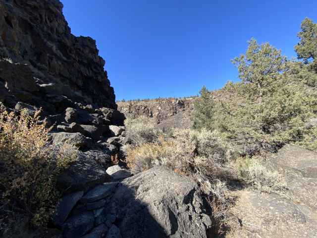
This is looking down on the Crooked River upstream of the reservoir, the trail following the rim of the canyon.
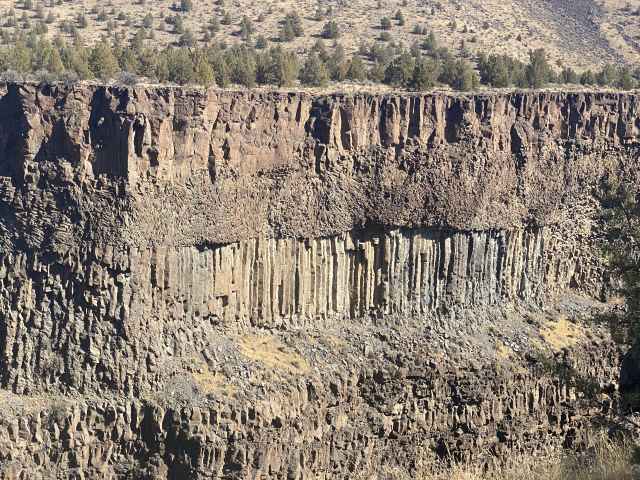
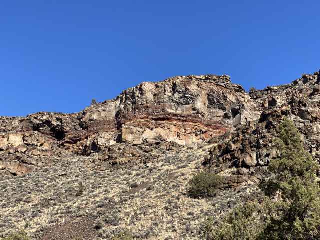
Basalt columns, created when the lava flows cooled, contracted, and fractured.
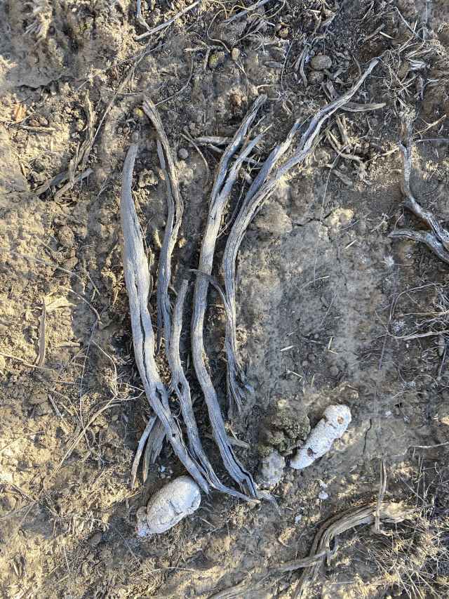
Still life with sticks and sun-bleached coyote poop. Is this art or what?
Irritatingly (in both senses), the (apparently) statin-induced peripheral foot neuropathy kicked in pretty good again, and combined with the huge blisters on the tops of your humble journalist's big toes from the Tam-a-Lau hike, it was decided that sandals would be the footwear of choice for our foreseeable hiking future.
Thursday October 13 and Friday the 14th - The feet ended up being bad enough that we grudgingly squandered 2 more hiking days in foot-recovery butt-sitting mode, but recognized on the other hand that it is nice to have an easy day or 2 once in a while, sitting around surfing the web, YouTubing, and reading, with Sue again hitting her trashy novels and your humble writer venturing ever further down the vast and apparently bottomless rabbit hole of quantum physics.
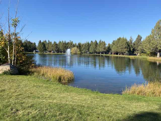
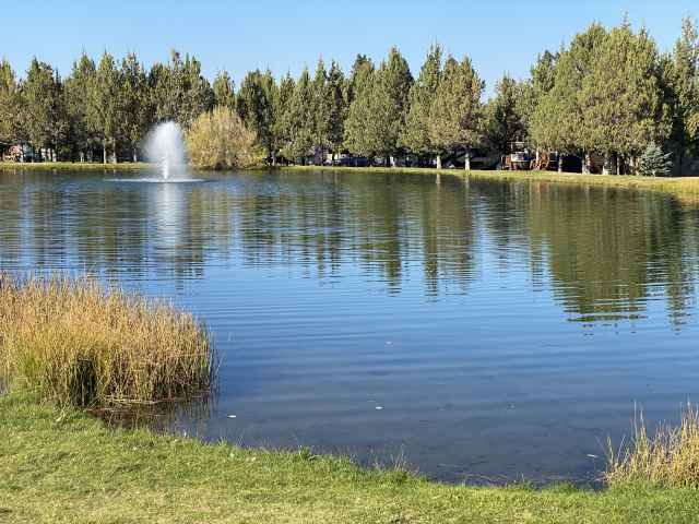
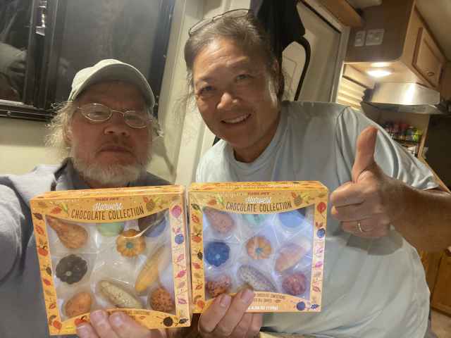
Saturday October 15 - Our week (big weekly rate discount!) in Redmond was up, and we packed up and headed over to the Sisters Garden RV Park, an easy 20 mile driving day, got all set up and spent 2 days lounging around, reading, butt-sitting, napping, and enjoying the grounds of the Sisters Garden RV Park, including several visits with our folding camp chairs to the grassy banks of the RV park's beautiful duck pond, complete with a spouting fountain in the middle, and (we just couldn't wait any longer) finally enjoying the festive bon voyage Halloween chocolates given to us by good neighbor Marilyn - thank you Marilyn!.
Sunday October 16 - Somehow figuring that we deserved a day off, we did not a damn thing this day, but remain fully convinced that we nonetheless did it extremely well.
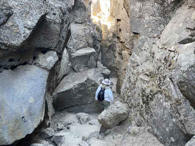
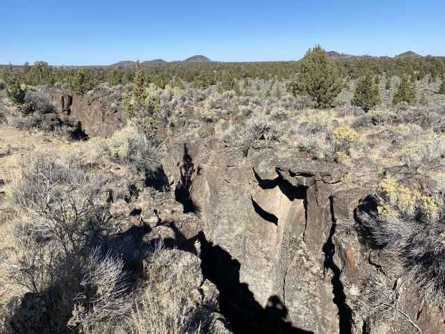
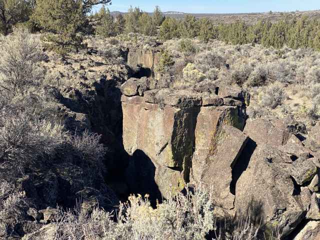
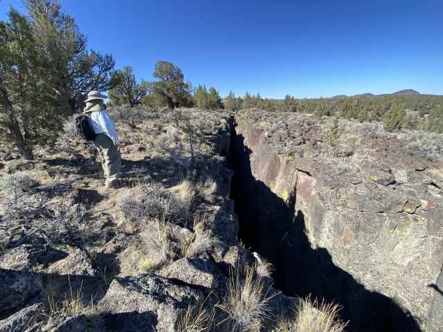
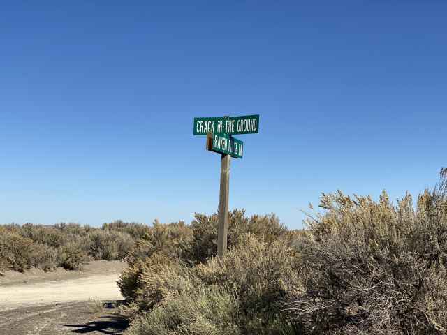
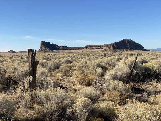
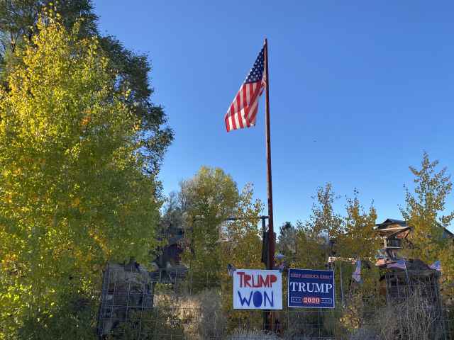
Monday October 17 - Determined to improve our thus far distressingly dismal Off Days / Hiking Days ratio, we decided to head down Highway 97 to La Pine, then east on Highway 31, apparently quite deep into Trump World given the signage encountered, to Christmas Valley, and thence to the infamous Crack-in-the-Ground, a big crack in the ground, as the name would suggest, where a couple of big lava flows collided and created, you guessed it, a big crack in the ground!

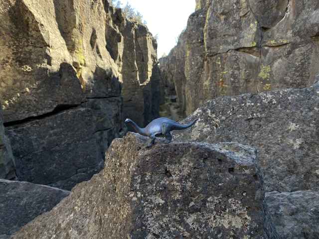
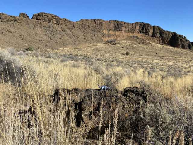
Mo the dino enjoyed wandering around.
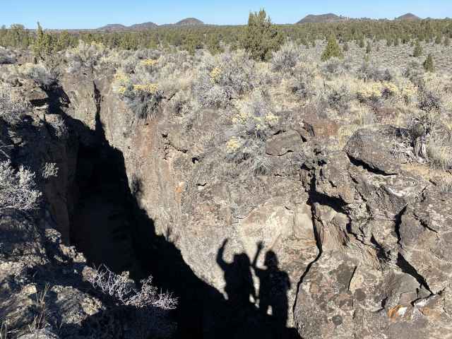
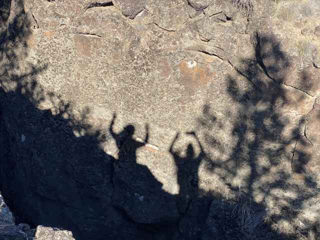
Doing our Kokopelli petroglyph impressions.
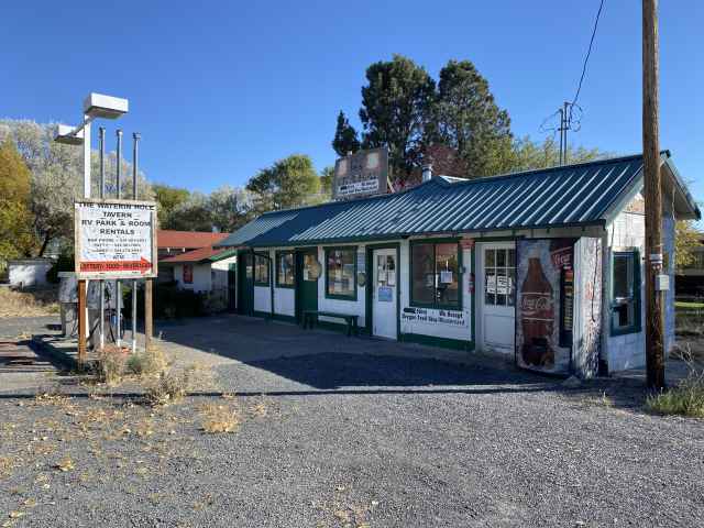
The Waterin Hole saloon, store, and RV park. We didnt stay here.
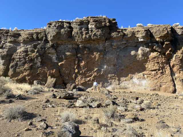
Then it was onward to Fort Rock State Park, where we wandered around aimlessly for an hour or two. Lava had pooped up through the bottom of a big ancient lake and solidified into a huge ring of volcanic tuff when it hit the water, and then eventually eroded to form the scooped out cresent shape.

If the rock was red, we would have been in Utah.

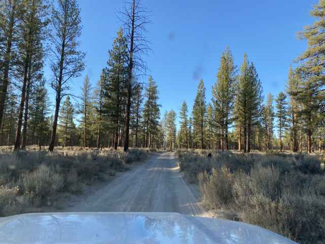
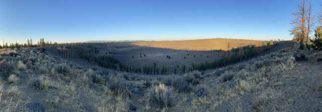
And then finally it was on to Hole-in-the-Ground, which not surprisingly, turned out to be a big hole in the ground - actually a maar - created when lava pooped up through the bottom of a big lake bed and a vast steam explosion ensued, creating, yes, bingo!, a big hole in the ground - fully one mile across! We went straight for the spiraling dirt "road" that wound its way to the bottom, beating up the 4Runner pretty good in the process - many new pinstripes along the sides from brushing up against the plants and trees, and a few new pinstripes on the undercarriage skid plates as well - although later inspection revealed that the latter was significantly more than just a few scratches. The "road" was full of moguls and big rocks, and was sandy enough that going an appropriately slow speed was not a good option - really didn't want to get mired down in the sand out here in the middle of nothing. So we bounced our way down and back up, and even though we had only hiked a scant 3 miles that day, decided to head for the trailer given the lateness of the day, and planned to return someday to walk around the rim of the crater.
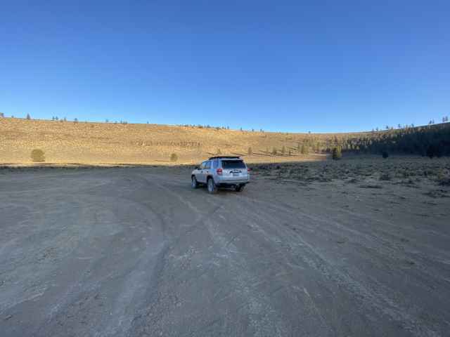
At the bottom of the hole.
All in all, a good day - finally getting back out there, and finally getting 3 things crossed off on the long-term to-do list.
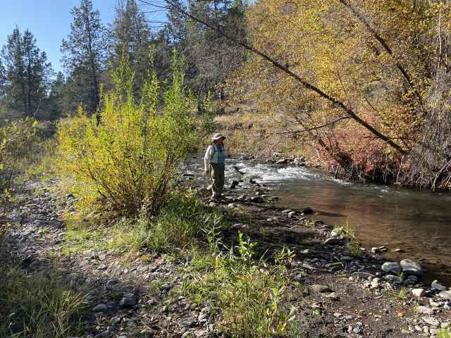
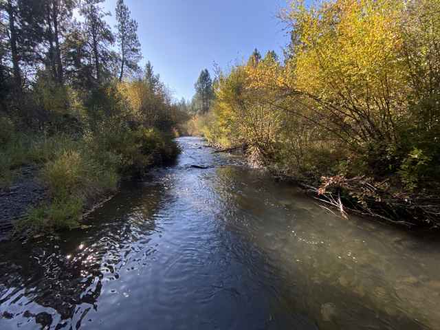
Tuesday October 18 - Still possessed of itchy, albeit somewhat sore, feet, we found a nice local 5.5 mile hike just NE of Sisters - the Whychus Canyon Loop trail. The Fall colors were showing, and we hobbled down into the canyon, along the river, and back up to the rim, only to discover 4Runner Oddness Number 3: the rear view camera had quit working. It was properly sensing that Reverse had been selected given that the back-up lights would go on when in reverse, but no rear view camera image would appear on the infotainment screen. Oh Crap! What does it all mean? Do we have electronical gremlins or what?

Sue took a side-step butt-plant tumble off the edge of the trail - happily no lasting harm done.
Back at the camp site, after disconnecting the battery for 10 or 15 minutes (the usual first thing to try when electronical things start going wonky) and thereby doing a hard reset of everything, the rear camera still didn't work - just a blank screen. Not much of a real show-stopper, but a very nice thing to have when backing up to the trailer to hitch it up, and perhaps indicative of some lurking issue?
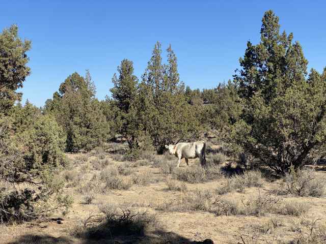
Wednesday October 19 - The oxymoronically named Dry River Canyon (it long ago drained Millican Lake) next called out to us, and we responded appropriately, again heading south out of Bend on Highway 20 to the Oregon Badlands, continuing just past the Flatiron Rock trailhead, then turning off for a bit of dirt roading, and finally hitting the trail - the sandy, dirty, dust cloudy, powdery trail, all pulverized into a fine flour consistency by the free-range cattle that obviously frequented the route, as evidenced by the abundant cow poopage adorning the narrow trail. We nonetheless persevered through the adversity, admiring the sheer rock cliffs between which we wandered, and trying to ignore the cow poop / dust cloud surrounding us as we walked. Somehow, in both directions, both the way in and back out, we had a tail wind that was traveling at about the same speed as we were walking, keeping us cloaked in the toxic cloud for the entire 5.6 miles. Ugh...

We eventually got back to the trailhead, at which we saw the rear camera magically come back to life! So maybe things were settling down? Nope! We stopped for gas in Bend, and encountered 4Runner Oddness Number 4: We filled up the half empty tank, adding 15.6 gallons, and the MTE reported 450 miles to empty! It had NEVER registered more than 320 MTE prior to this. Hmmmmm indeed... Something to do with the battery disconnect perhaps?
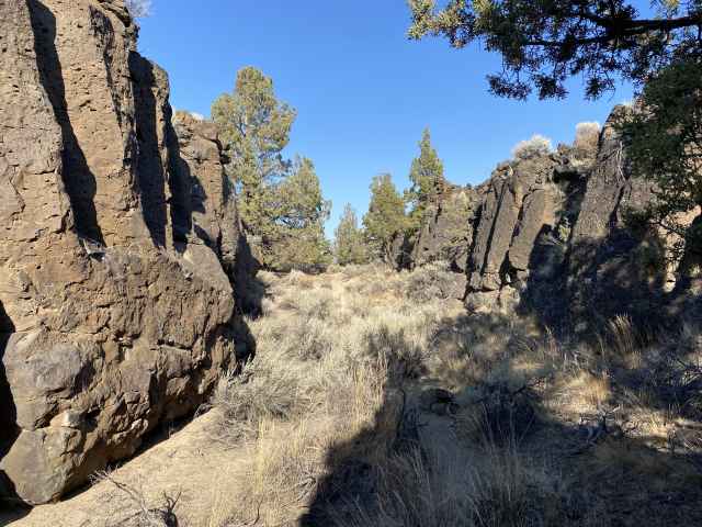
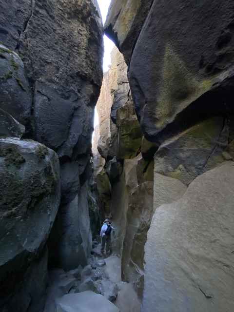
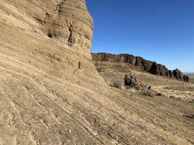
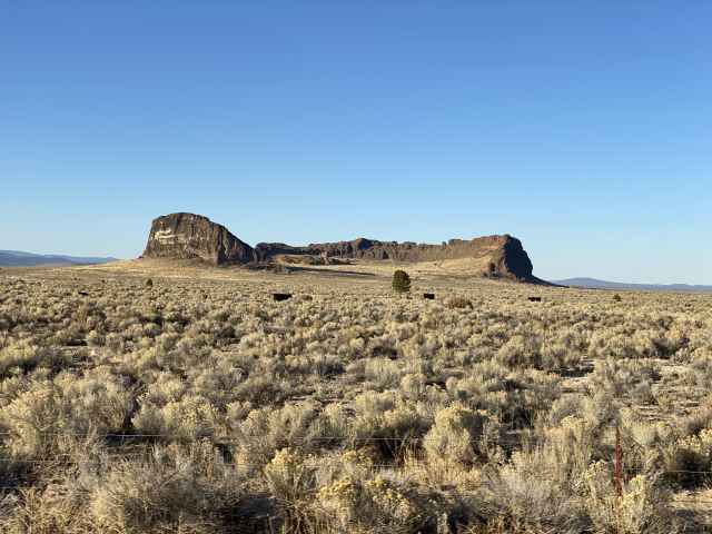
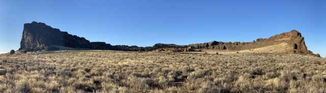
Thursday October 20 - The next day, we again traveled east on Highway 20, this time to the Badlands Rock trailhead, planning to hike to 3 landmarks to the north: Badlands Rock, then west to The Castle, and on to Flatiron Rock (to which we had hiked 11 days previously by a different route), happily closing the loop with this 9 mile day. It looked like we were finally getting back up to speed. The 3 volcanic rock upcroppings were the result of lava flows bursting out of underground lava tubes from the Newberry volcanic area to the south, then upheavaling and thereby creating miniature mountains when the lava hardened. These 3 features are unusual, being covered with small interconnecting slot canyons running around their tops. Remarkably, the flat desert surface in this area is layered with the detritus of the eruption of Mt. Mazama over 30 miles to the southwest, which also created Crater Lake.
Atop Badlands Rock.
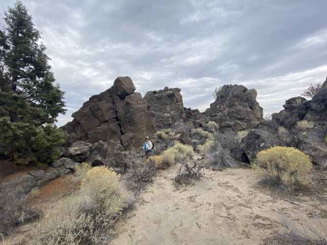
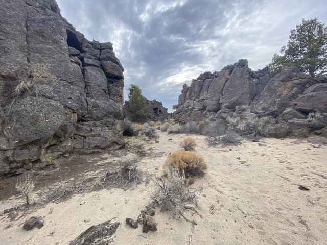
Atop The Castle - lunch time!
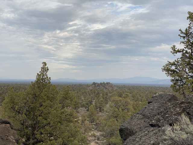
Atop Flatiron Rock, looking east to The Castle.
Finally some sunset color.

Friday October 21 - Wrapping up a housekeeping day - cleaning, organizing, doing wash, getting packed up.
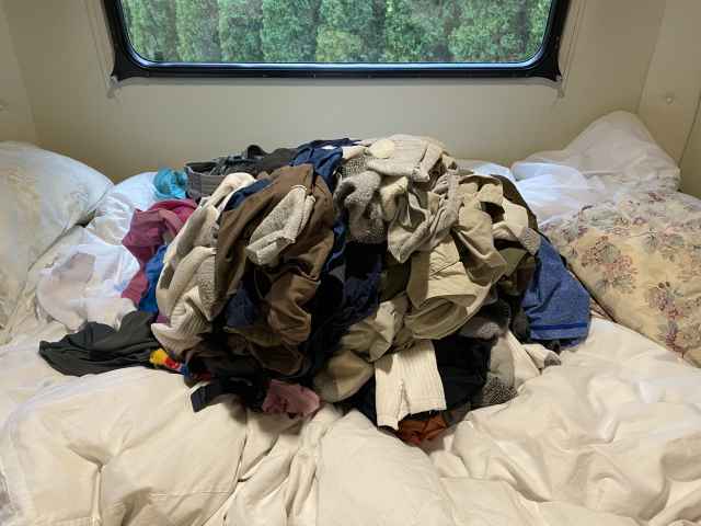
YAY - clean clothes!
The final day of our week in Sisters, preparing to head over to the Oregon Coast the next day for a couple of weeks, and not a day too soon given that the overnight temps around here would drop down to freezing starting the next night. Should be an easy travel day: 175 miles on Highway 20, through Corvallis, popping out on the coast in Newport, then 101 north up to the faaaaaaabulous Sea and Sand RV Park near Depoe Bay for 6 nights, then to Tillamook for another week and a half, resuming our perhaps ill-considered hike up and down the entire coastline of Oregon before we die, an expedition already 14 years in the making, starting way back in 2008, and progressing slowly, very, very slowly...