Mt. Hood Circumambulatory Hike -- August 31 - September 5, 2003
![]()
![]()
![]()
![]()
![]() This trip is rated 5 boots out of 5 on the
Hiking Boot-o-meter.
This trip is rated 5 boots out of 5 on the
Hiking Boot-o-meter.
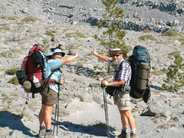
This trip had quite a history even before it actually happened, having been discussed at length for several years.
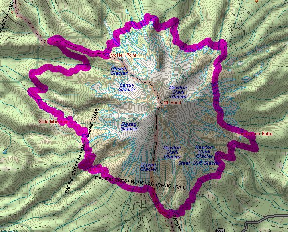
| Day 1 - Timberline Lodge to Newton Creek |
| Day 2 - Newton Creek to Cloud Cap |
| Day 3 - Cloud Cap to Cairn Basin |
| Day 4 - Cairn Basin to Ramona Falls |
| Day 5 - Ramona Falls to Timberline Lodge via Paradise Park |
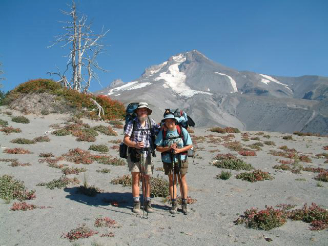
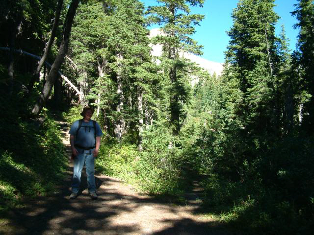
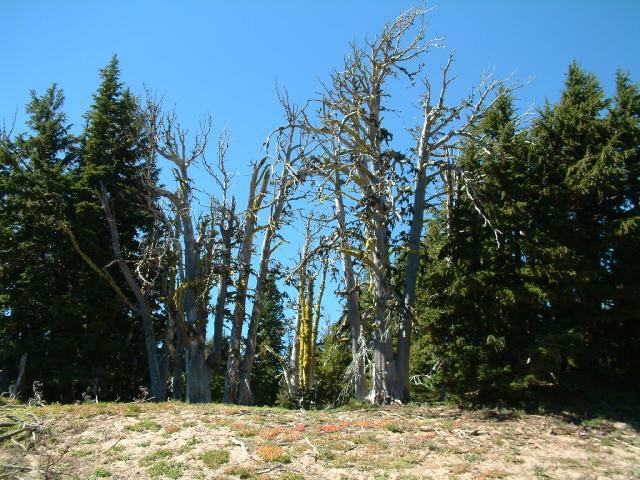
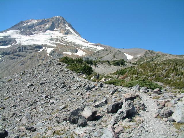
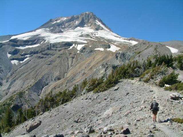
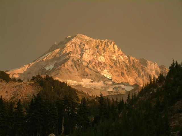
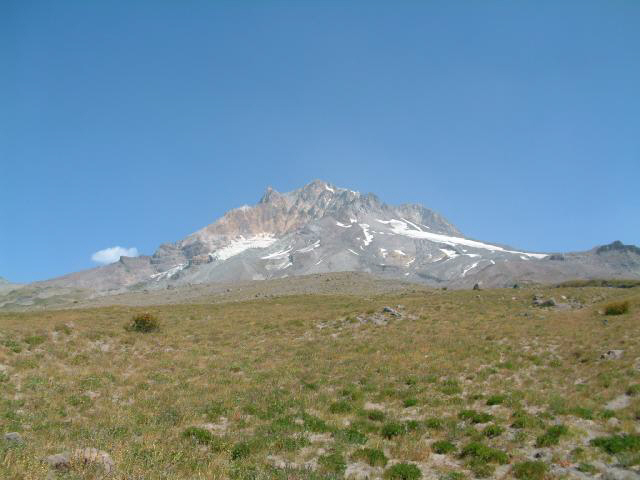
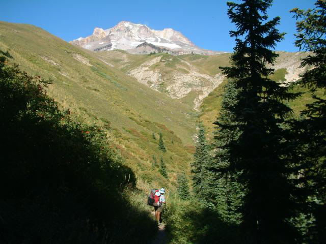
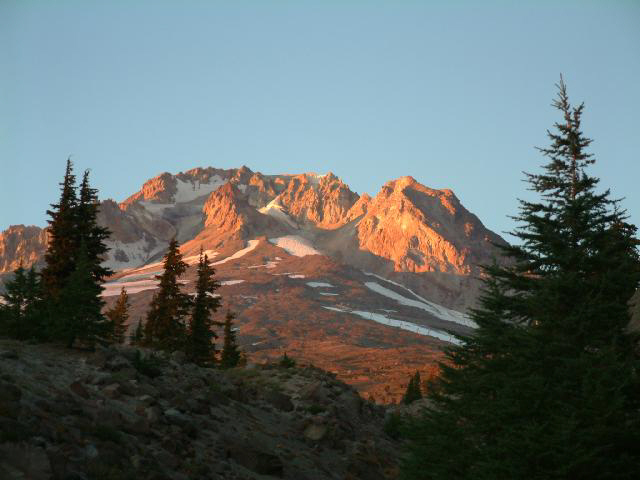
We took off from Timberline Lodge Sunday morning of Labor Day Weekend, and headed around The Mountain counter-clockwise to the White River drainage, stopping a few times for photo opportunities.
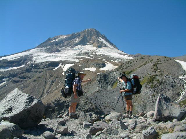
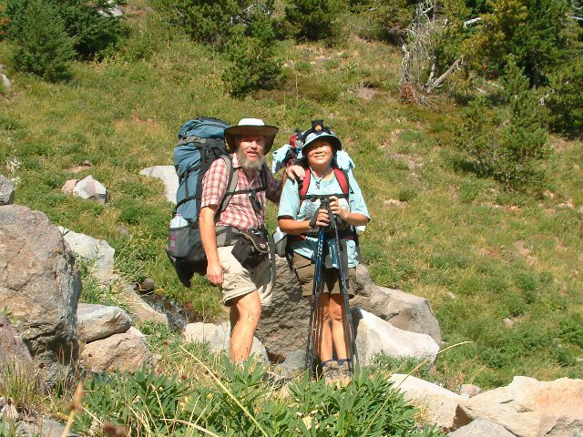
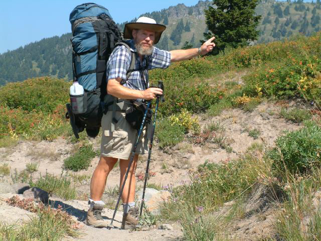
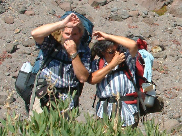
Here we are showing laudable agreement about which way to go, while Sue proudly sports Holman, her ursine headgear.
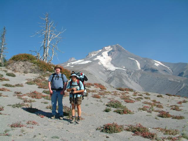
Old hiking companion Rick joined us for the first day and night, then spent the second day hiking back to Timberline Lodge - he said it had something to do with having to be back at work on Tuesday, poor guy.
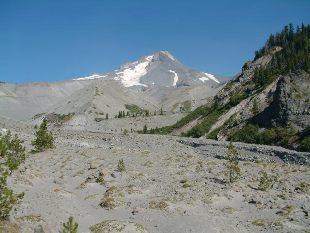
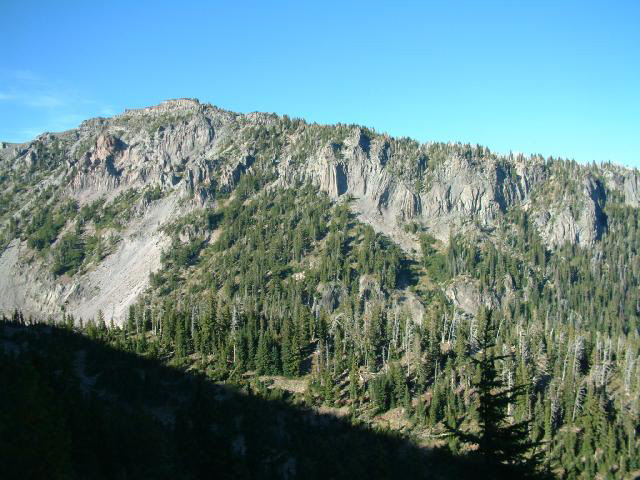
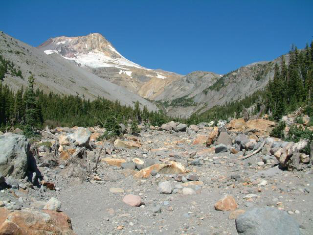
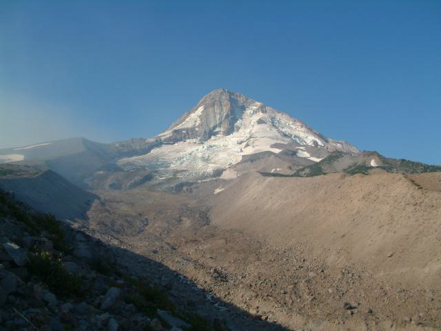
Here is a view looking up the White River drainage toward The Mountain.
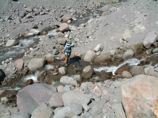
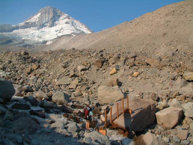
We headed upstream a bit till we were above a point of confluence, making the crossing considerably easier.
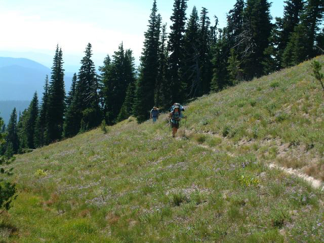
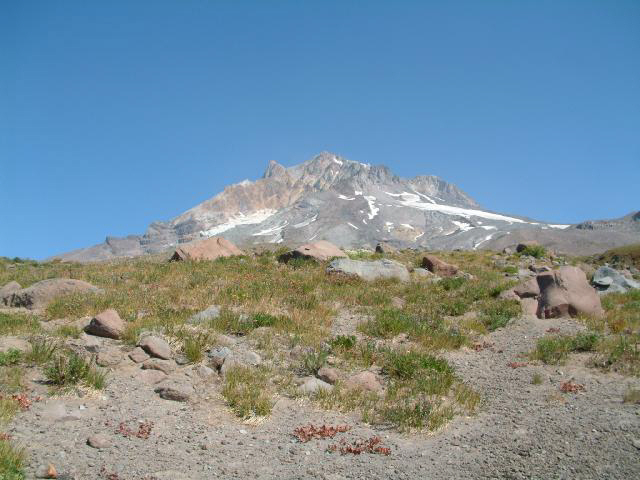
After grunting up from the White River, we stayed on a contour for a while, enjoying the views,
and the flowers. Next year we plan to head back down here in August and hike during the height of the wildflower show.
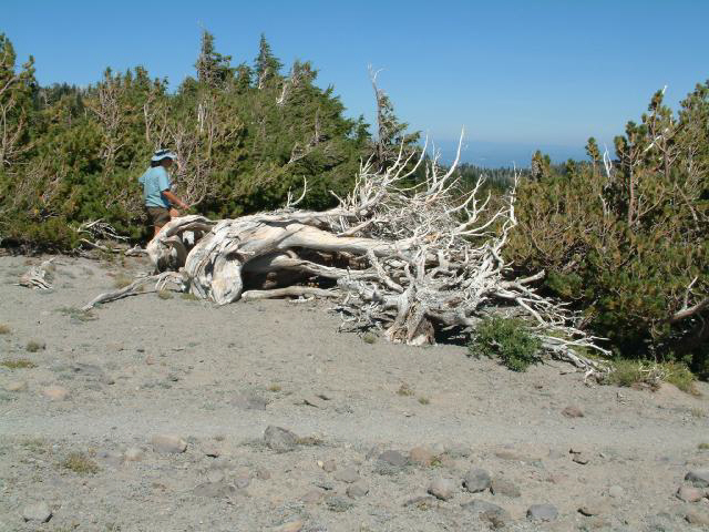
Here's where we stopped for our first official break - some among us seemed to perhaps already be getting a bit tired of the whole thing.
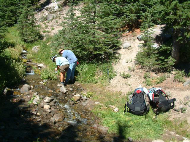
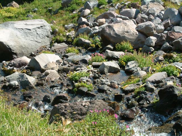
One of our many water purification ceremonies.
We crossed under the ski lifts at the Mt. Hood Meadows ski area. Sadly, the slopes were clearcut for the skiers, but it made for some nice sunny meadows.
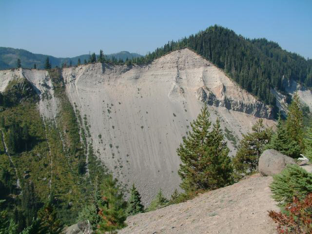
Looking down into Heather Canyon.
It was a long way down, and an even longer way back up the other side.
This is where one of our plastic water jugs got loose, tumbled down the waterfall, and headed out to sea.
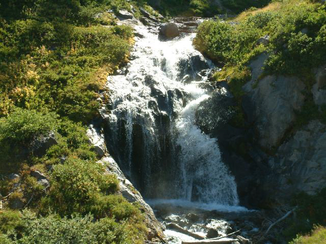
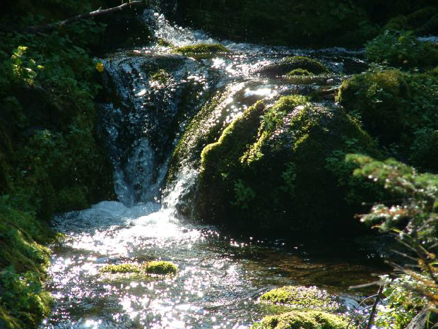
Next we came to a lovely little waterfall in which we splashed around and freshened up a bit.
At the bottom of Heather Canyon - no where to go but up.
Rick, in his youthful fashion, simply leapt across the river, then sat patiently waiting while his two geriatric hiking companions did the "boots off - socks off - sandals on - wade across - sandals off - socks back on - boots back on" routine.
Here we are descending into Newton Creek Canyon, looking across and up to Gnarl Ridge, atop which we would be standing the next day. Just before arriving at Newton Creek, we spotted a nice clear stream and several occupied campsites, and decided to head to the other side of Newton Creek and look around, so we crossed the creek and dropped our packs, and while Rick stayed and scouted around, we went back across the river to filter some water for the night. After a few strokes, the pump plunger broke, so there we were - no filter and 4 more days of hiking ahead of us. We talked to a couple of guys that were filtering water and asked to use their filter, but it turned out they were using a borrowed filter since theirs had also broken. We rounded up the filter owners and they were happy to let us use it. We crossed the creek again and got everything set up, had dinner, and called it a long day.
We awoke to a wonderful sunrise on The Mountain, and lounged around in our warm sleeping bags for a while.
The morning was crisp and clear and a bit chilly.
We finally got up, had a bite, got everything packed up, and crossed the creek again hoping to scare up a water filter. The folks whose filter we had used the evening before had mentioned that they were finishing up their hike, and we hoped that we might talk them into selling us their filter. We had (barely) enough iodine tablets for the rest of the trip, but it would have been real unpleasant to live on iodine-treated water for 4 days. They were late sleepers, but they finally emerged from their tent, at which point we proposed that they sell us their filter, and they, thankfully, agreed.
We topped up their water jugs, then topped up Rick's water jugs and sent him on his way back to Timberline Lodge,
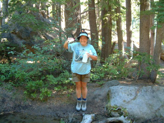
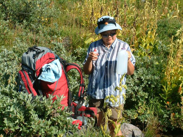
then got our water jugs topped up and crossed the creek one last time, looking forward to getting on with the hike. Here Sue happily shows off our new used water filter.
We retrieved our packs, eager to get going since it was already 10:00, and spent the next hour wearing ourselves out scrambling over river boulders looking for the trail, which the map showed being downstream of the crossing, but was actually upstream since the crossing had apparently relocated itself after the map was published.
Meanwhile, as we found out later, Rick was enjoying his hike back to civilization, at least until he got to the White River, which we had easily crossed the previous morning.
As Rick later reported:
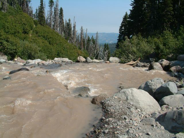
The White River is known to surge, especially in the afternoon. Something
to do with the melting glaciers on Mt. Hood. But nobody mentioned the boulders.
When I reached the White River, there were already people on both sides held up, unable to cross. The river
was a loud roar of sound. The White River was surging -- fast, furious and full of boulders.
Big boulders, little boulders and even a tree trunk. The bigger boulders were 2 feet across, maybe 500 lbs. No kidding.
Flash flood would be a better description. With each surge, the river would change
its path.
Lulls between the surges would occur periodically with slightly reduced flow, but the river was still moving
fast with smaller boulders. There was no way to wade across the river. The initial assessment was there was no way to cross. Probably have to spend the night and cross in the morning.
After about an hour, the path of the river changed to make a sandy beach on the other side.
When a lull came that was significantly quieter, it was obviously time to cross by jumping across the river to
the sandy beach. The river was about 4 feet across, still moving fast with smaller boulders. Failure to jump clear across
the river was not an option.
Four of us jumped across. One fellow from another hiking group went first. Then me. Then he
and I helped the rest of the group across. First the packs were thrown across. Then the other two people jumped. There was one tense
moment while the other fellow and I help steady one of the jumpers. Everyone made it OK.
Once the adrenaline cleared and congratulations were made all the way around, I continued on up the trail.
A little later, from the trail, maybe 500 feet above the river, I heard a huge roar, like a freight train. I looked down and saw a huge flash flood racing down the White River toward the crossing. An awesome sight.
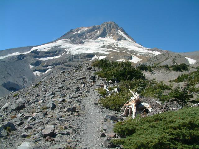
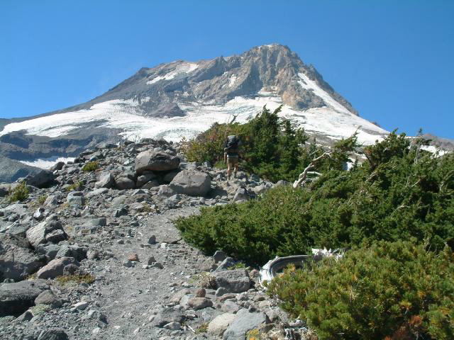
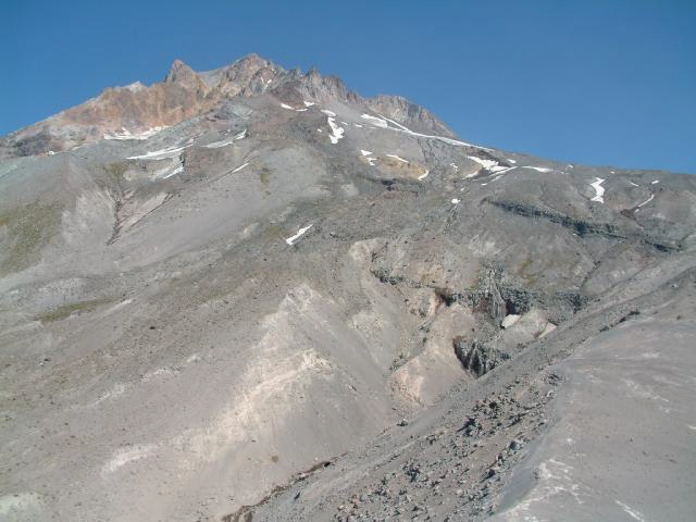
Meanwhile, we grunted our way through the trees up the backside of Gnarl Ridge.
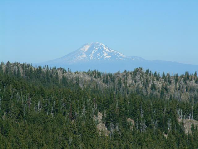
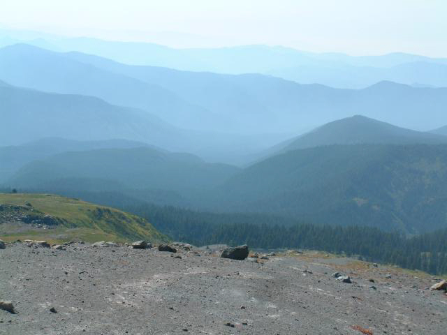
Washington's Mount Adams, to the northeast. There were wild fires burning in north central Oregon, and the wind was shifting to the north, starting to create visibility problems in the area.
We finally broke out of the trees onto Gnarl Ridge,
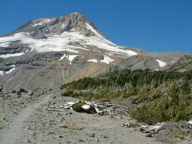
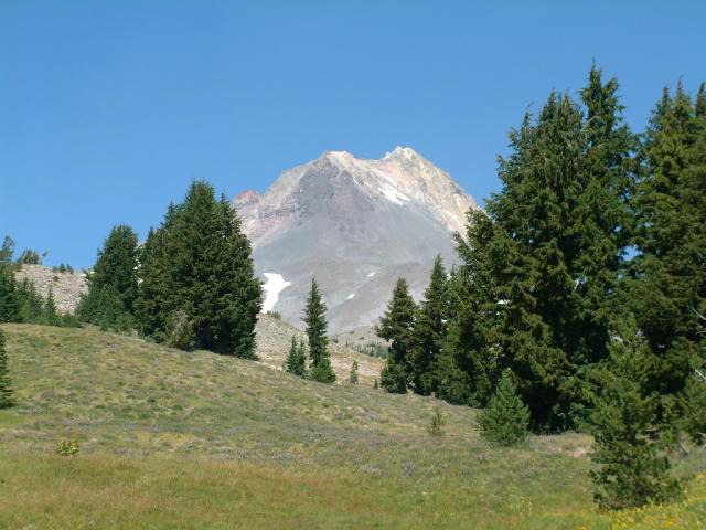
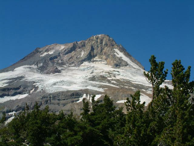
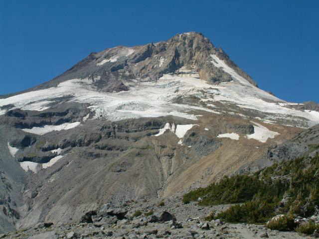
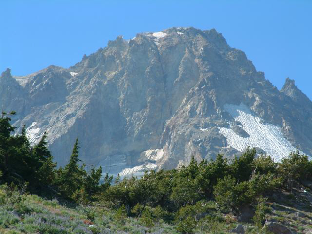
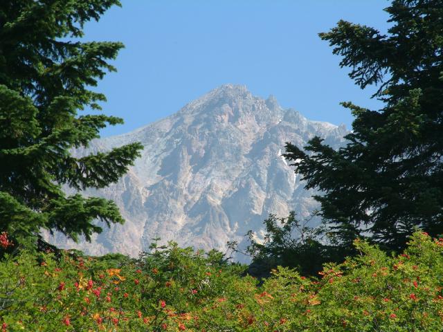
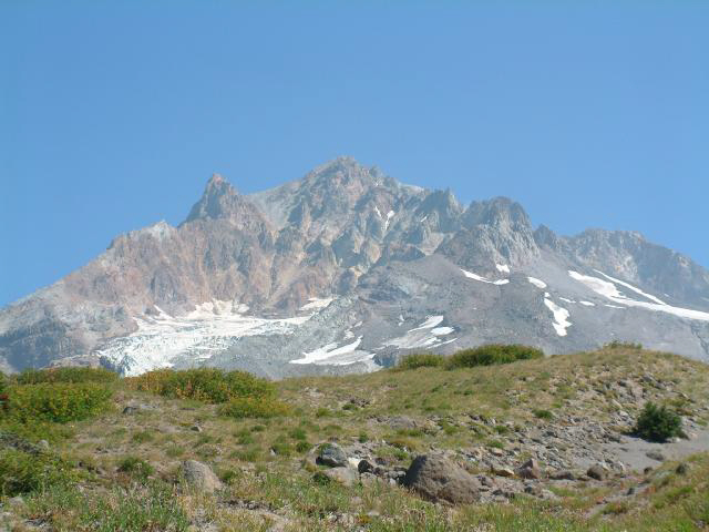
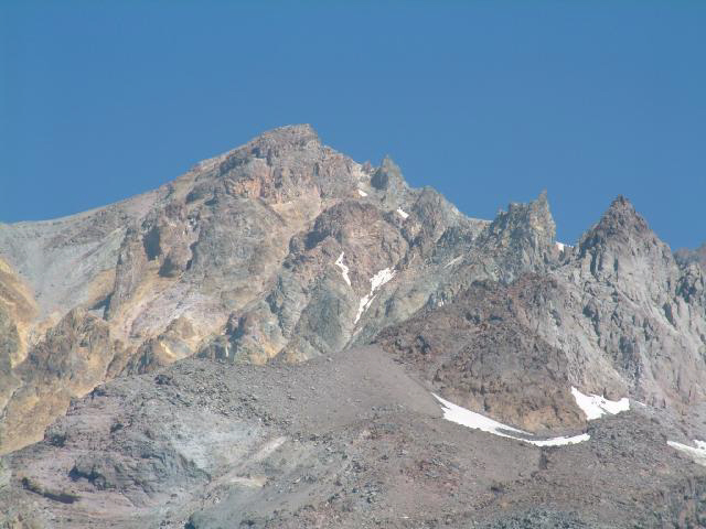
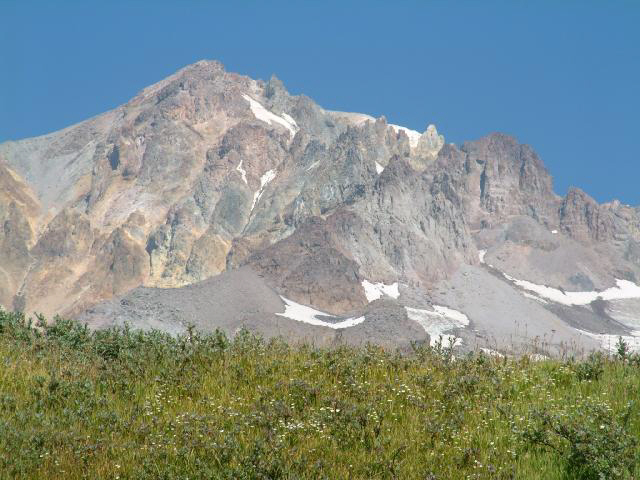
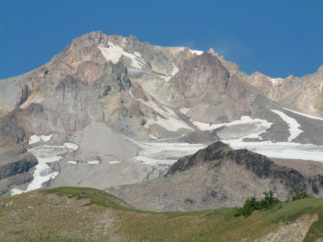
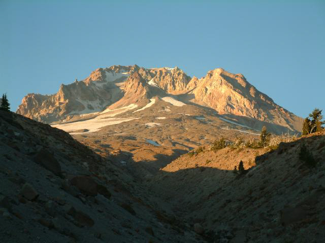
and got some great views of The Mountain.
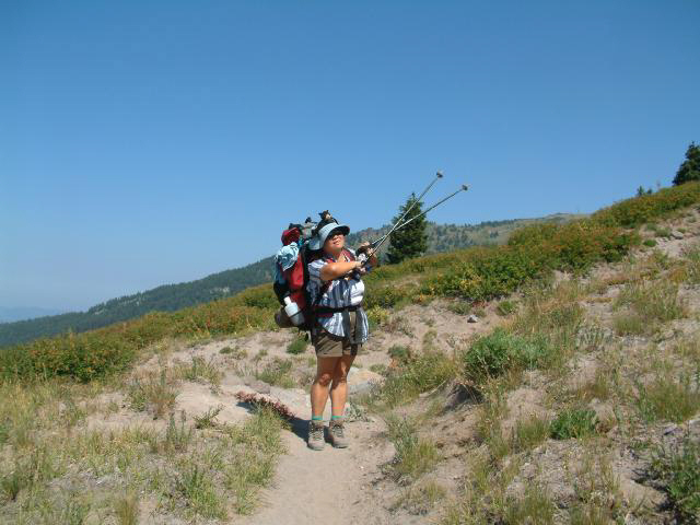
Sue did some off-trail exploration.
We stopped for lunch, and enjoyed this view while choking down jerky and Costco Peanut Butter crackers.
We found some good rocks to sit on (the Sling-Lites were left at home in a weight-saving frenzy) and it was really hard to put the packs back on and hit the trail,
but we did just that and pressed on regardless.
Not hard to imagine what song kept playing in our heads:
I
don't know
I don't know
I don't know where I'm a gonna go
When the volcano blow
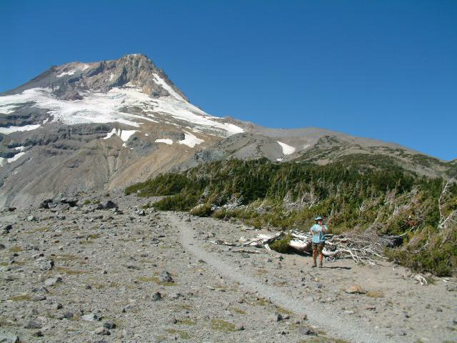
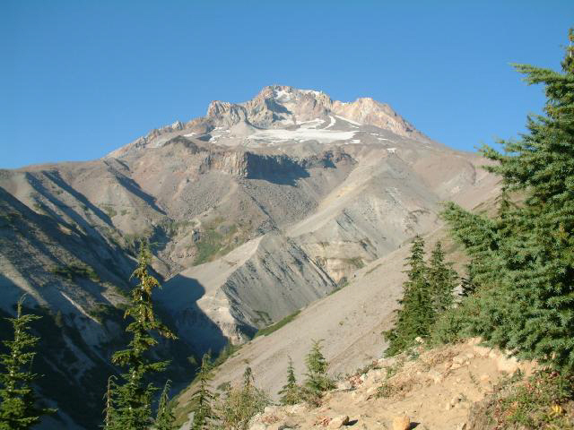
It seemed like we got farther and farther from The Mountain the more we walked.
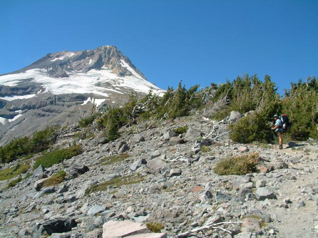
After climbing all morning, we finally hit this steep stretch as we approached the crest of the ridge.
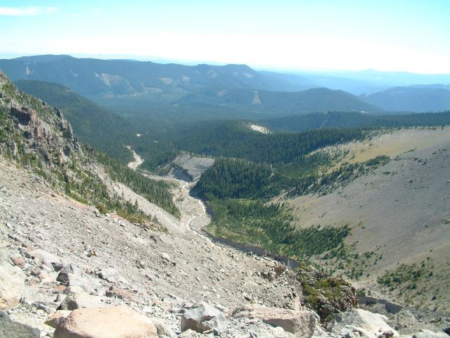
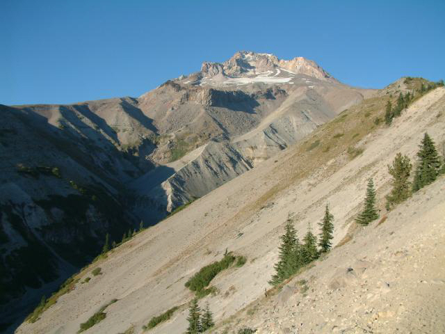
We stopped and looked back down into the Newton Creek drainage where we had spent the previous night - we camped below and to the left of center, just to the left of the creek. The smoke to the south was closing in and getting worse,
but to the north the sky was still a nice dark blue.
We finally made it to the top of the ridge and took a breather,
then headed toward Cooper Spur and Cloud Cap.
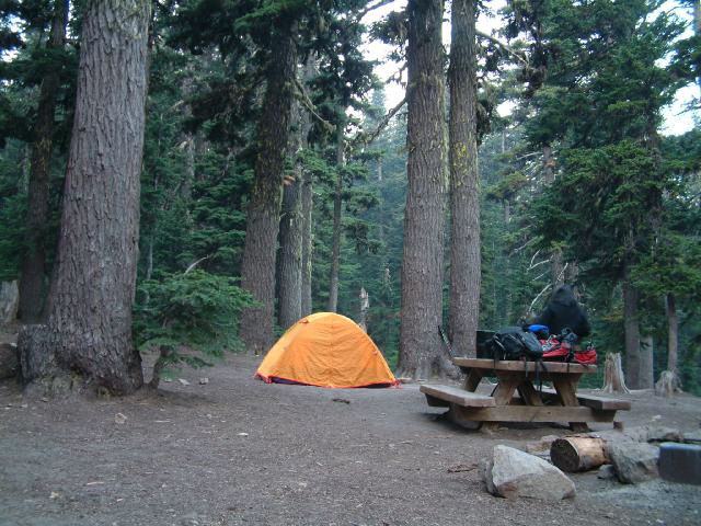
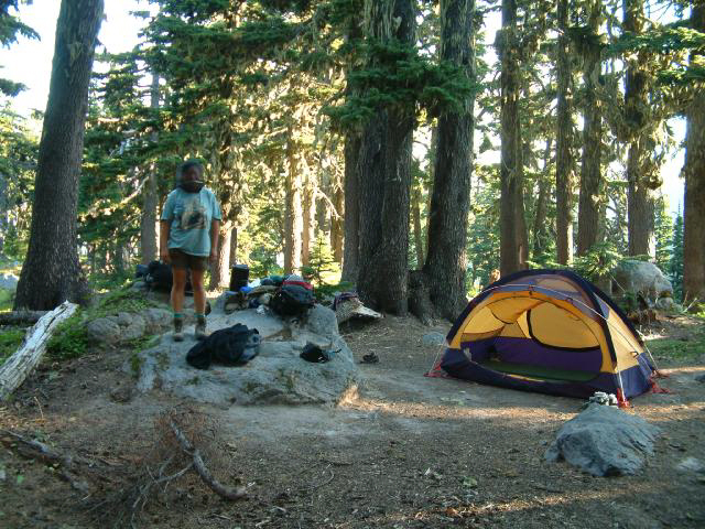
We finally lurched into the Cloud Cap campground, where we set up camp and decided that we needed to reorganize our packs,
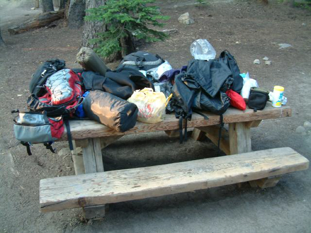
which meant taking everything out of the packs, spreading it all out on the handy picnic table, rooting through it all, then putting it all back in the packs, just like it was to start with. It made us feel a lot more organized and efficient.
The next morning we headed out of Cloud Cap and down to Eliot Creek, with the smoke cloud clearly visible coming in from the south.
The old bridge had washed out, so we followed a detour, and got to cross on the brand new bridge. The creek wasn't too wide here, but it was deep and moving fast.
At this point, it was with mixed emotions that we considered that we were getting close to the 1/2 way point.
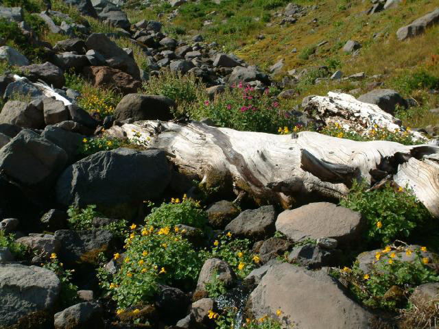
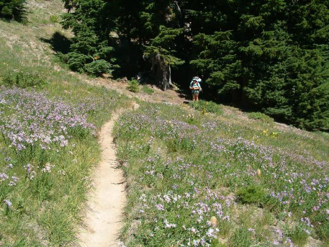
Although we were a few weeks late for the best of the wild flowers,
there were still plenty to enjoy.
This was one of the more interesting stream crossings of the trip - deep, fast, and so cold that it hurt.
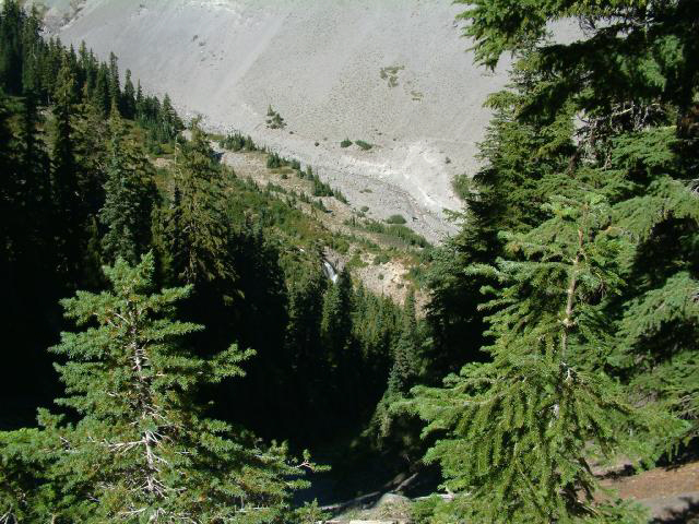
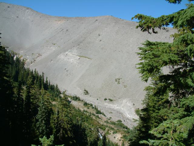
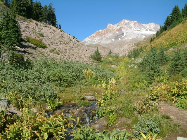
Looking down into Eden Park. We thought about spending the night here, but decided to grunt up the hill to Cairn Basin.
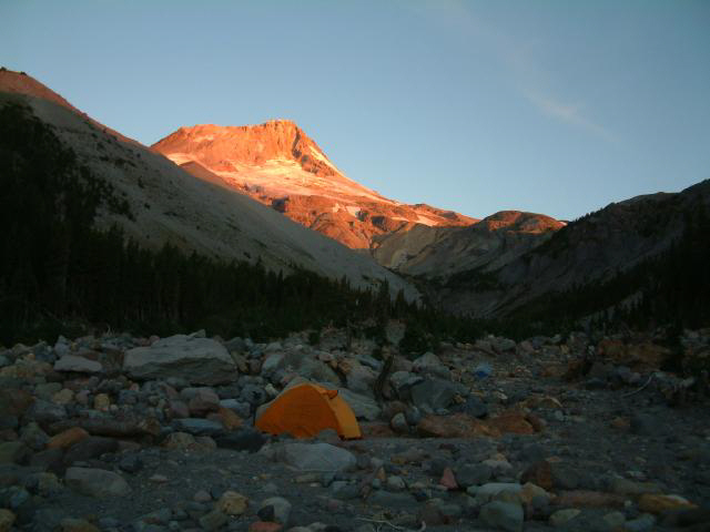
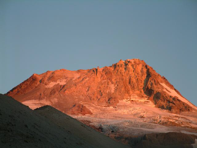
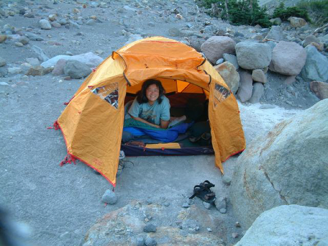
We claimed a campsite in the Cairn Basin campground, set things up, and enjoyed the sunset while eating dinner.
We finally got to wear our mosquito clothes. Here, Sue models her fashionable net headgear.
After breakfast we walked up to a small creek and topped up all the water jugs, then went back down and finished packing up.
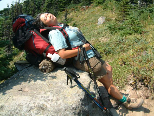
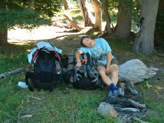
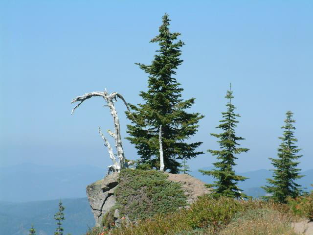
It's surprising how good a rock can feel when you're tired...
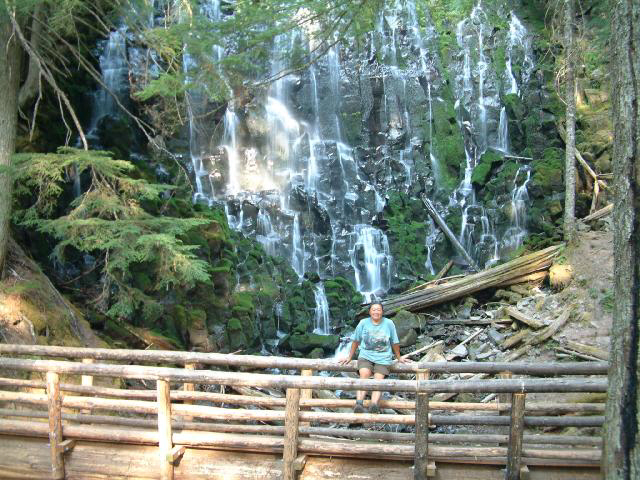
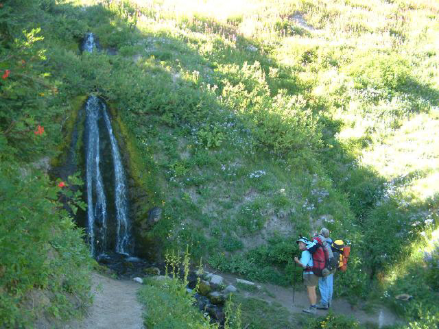
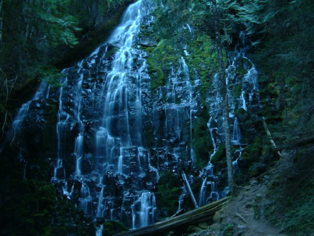
We got to Ramona Falls while there was still some sun left.
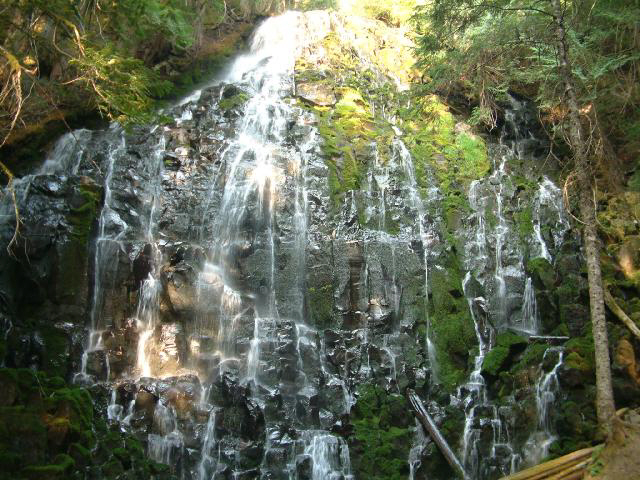
It starts out narrow at the top,
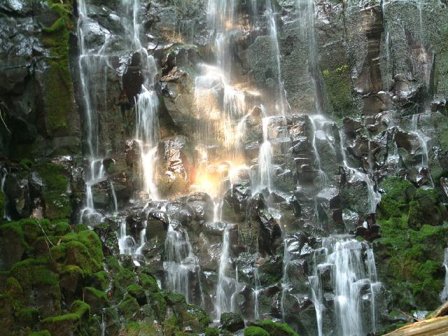
then cascades down the black, moss-covered basalt rocks,
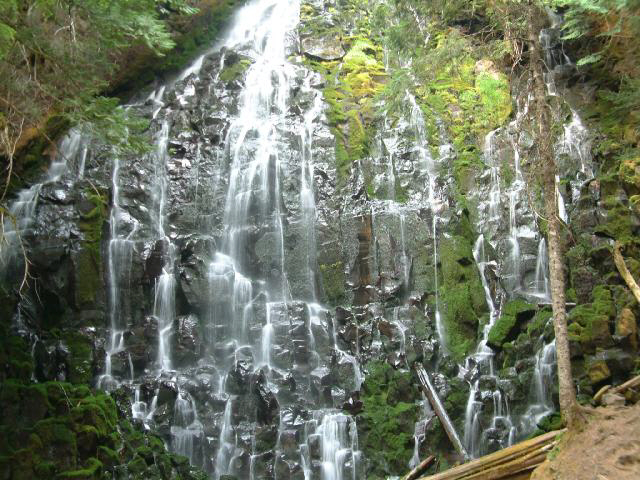
finally ending up in a pool 120' below the top,
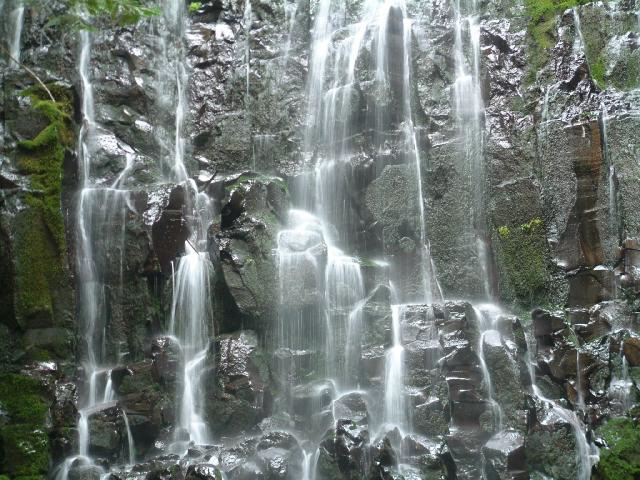
then under the log bridge, into the Sandy River, the Colombia River, and out to the Pacific Ocean.
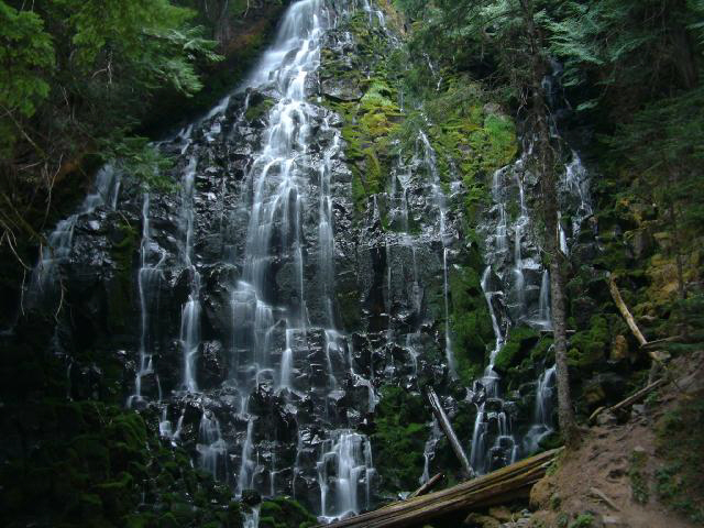
We hung around and enjoyed the falls, and finally headed off to the campground about 1/4 mile past the falls,
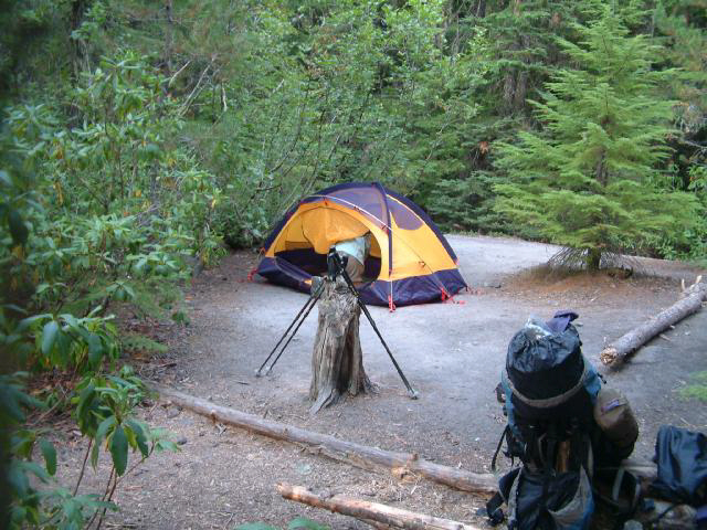
where we set up camp, then headed back down to the falls,
where we had dinner, and stayed till it got dark.
The next morning we were both sad and happy that it was our last day on the trail. We crossed the Sandy River, then started up the 3000' climb to Paradise Park
It was a relief when the trail started to level off,
and we approached Paradise Park.
We indulged in some gratuitous picture taking.
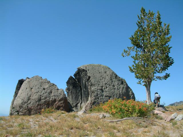
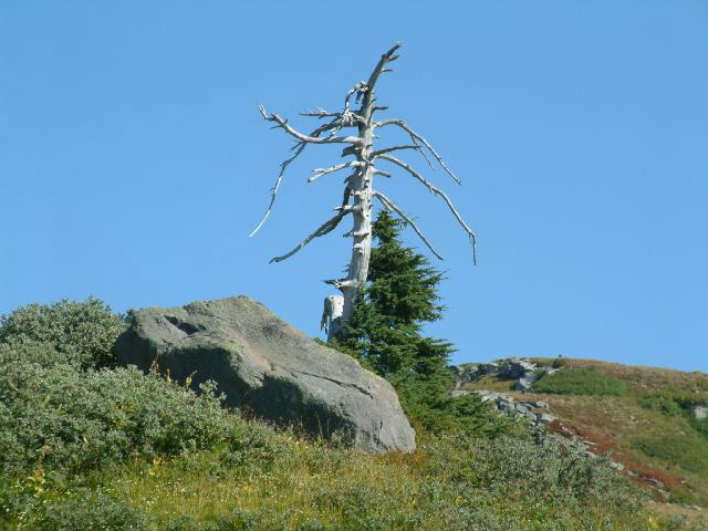
Here, our guide points toward the Giant Broken Boulder.
Looking toward the north, through the haze from the wildfires.
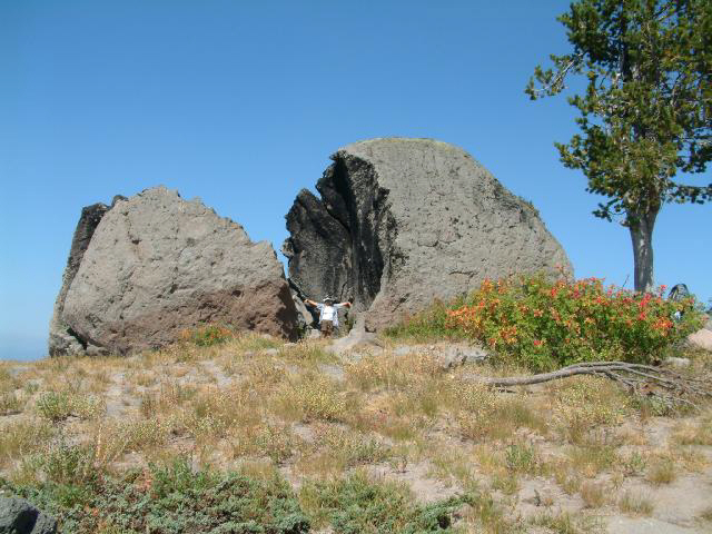
We knew we were in Paradise Park when we got to the Giant Broken Boulder.
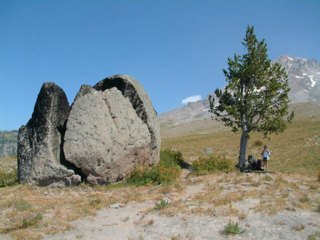
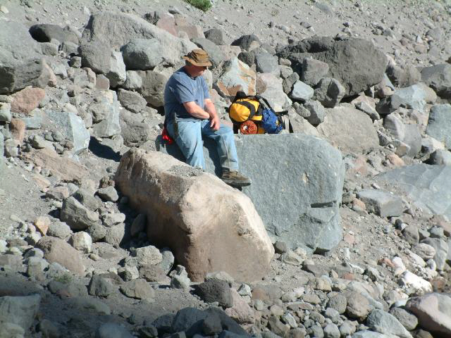
The lazy one amongst us decided to lay down and take a nap in the shade under the tree,
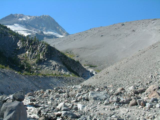
while the ambitious one amongst us decided that The Mountain beckoned, and headed, refreshingly packless, up the hillside,
and up,
and up, and up,
till finally the top edge of the Sandy drainage stopped all progress.
Heading back down to the Giant Broken Boulder, peeking over the ridge to the south - it looked more like the Great Smokey Mountains than the Oregon Cascades.
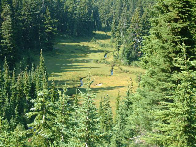
We wandered around the meadow for a while,
till finally the thought of a shower and a real bed got more and more of our attention,
and we decided that it was time to start winding up the trip.
We got back on the trail,
made yet another stop for water,
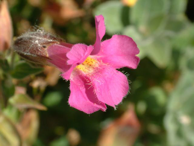
communed with this hairy flower,
and pressed on toward Big Zig Zag Canyon.
Going downhill we made pretty good time,
but slowed down once in a while for a few last close-up views.
Part way up the Big Zig Zag drainage. This really felt like a major climb - it goes up 1000' in 1 mile and we were tired. Whew...
Not a good place to go snowshoeing avalanche-wise.
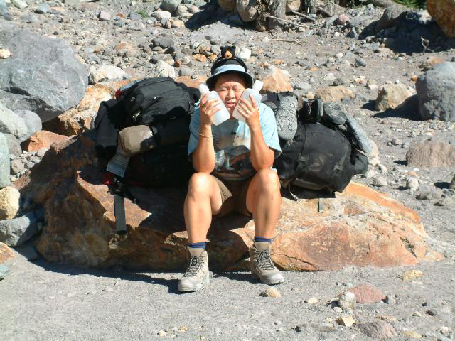
Let it not be forgotten that personal hygiene is always an important part of any hike. Here we are making a mid-afternoon check. The results were not good. Not good at all.
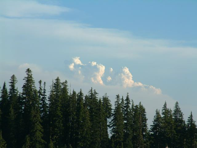
Looking to the south, we saw some heat-caused cumulous clouds that had formed above the fire as the hot air rose and then cooled.
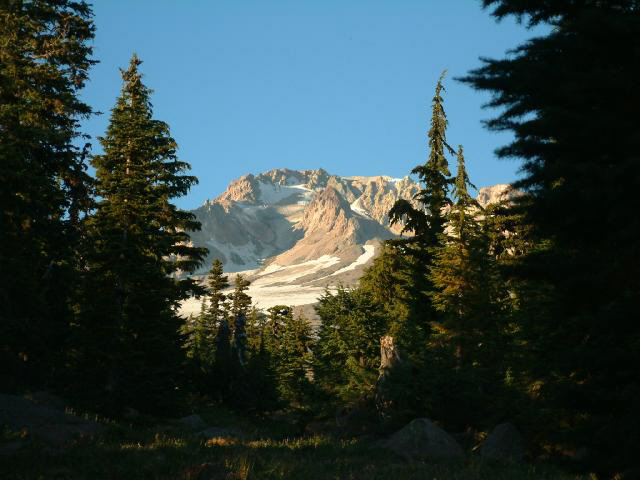
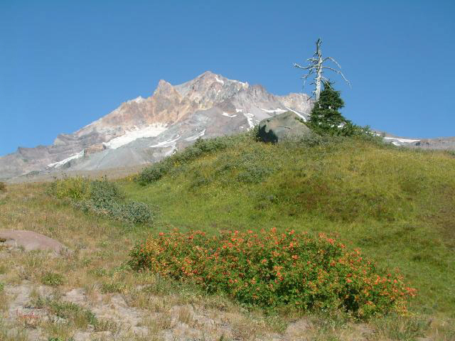
A couple of last views of The Mountain,
till we do it again next year... We hope...
After enjoying the sunset on the trail, we ended up back at Timberline Lodge in the dark. We decided to spend the night in Government Camp, after we weasled the innkeeper at the Mount Hood Inn down a few dollars. Dinner was take-out from the Ratskeller Bar and Grill, and it was some of the best pizza we've ever had. Needless to say, the showers at the motel were as much appreciated as they were needed. We each took a couple.
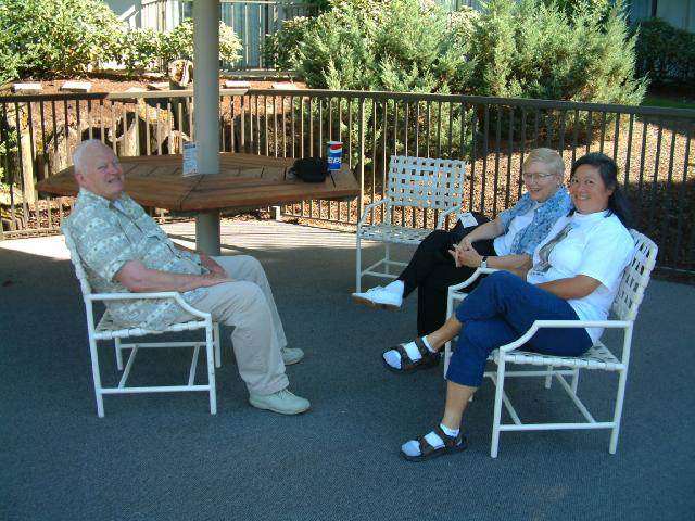
The next afternoon, we met up with Frank and Helen at the Doubletree Jantzen Beach just north of Portland,
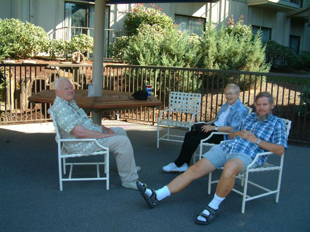
where we sat around by the pool,
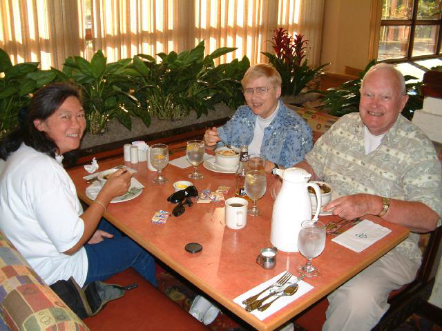
and had an early dinner, before we headed home, and they headed off on a Columbia River cruise the next morning .
![]()